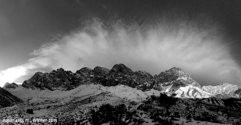
جوپار mountain guide

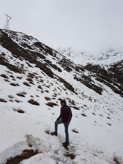
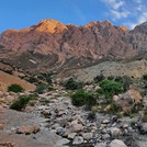
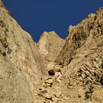
جوپار
Photo credit: Mohammad

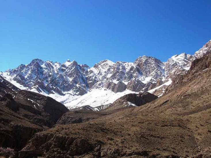
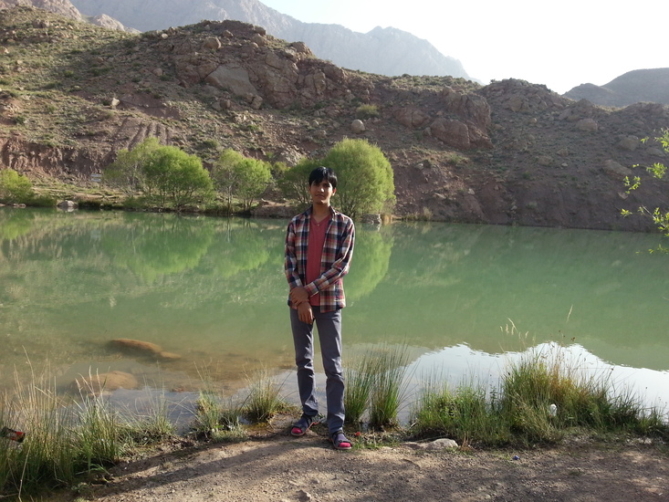
جوپار
Photo credit: Ehsan Kalantari
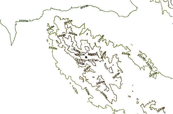
- Elevation: 4170 m
- Difficulty: Technical Climb
- Best months to climb: February, March, May, June
- Convenient center: Kerman
جوپار Climbing Notes
saeed nouhi from IRAN, ISLAMIC REPUBLIC OF writes:
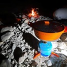
Hi. This site is very useful. Thank you. Jopar is the second technical mountain after Alam montain in Iran. The best way to approach is via Kerman, and after that Jopartown. In winter it is very cold.
2011-09-25 |
Click here to read 1 more climbing note for جوپار or submit your own
|
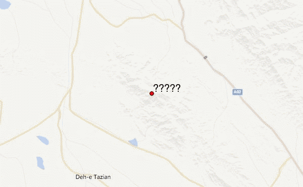
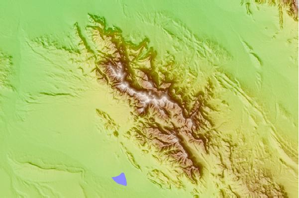
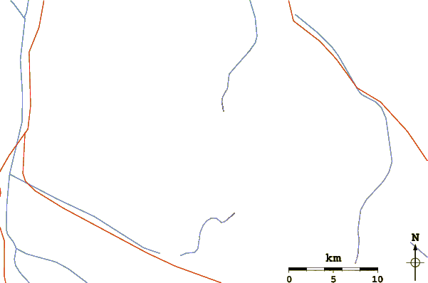
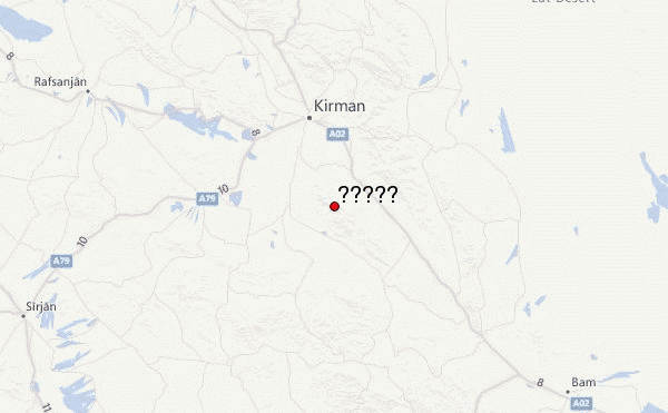
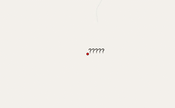
Select جوپار Location Map Detail:
Use this relief map to navigate to mountain peaks in the area of جوپار.
10 other mountain peaks closest to جوپار:
 جوپار – Climbing, Hiking & Mountaineering information

 Like us
 Follow us
