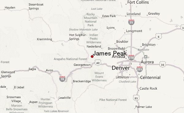
– Lat/Long: 39.85° N 105.69° W
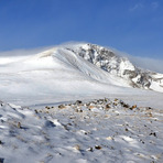
 James Peak – Climbing, Hiking & Mountaineering information
James Peak – Climbing, Hiking & Mountaineering information
James Peak mountain guide
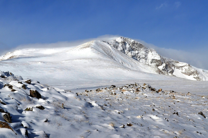
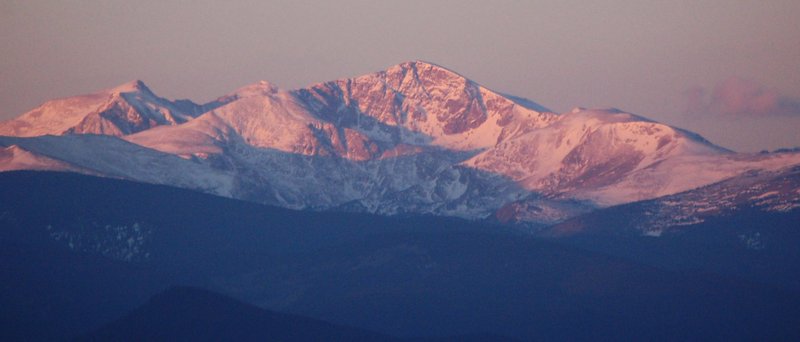
- Elevation: 4052 m
- Difficulty: Walk up
- Best months to climb: June, July, August
- Convenient center: Winter Park
James Peak Climbing Notes
|
| Select a
mountain summit from the menu |
||
|
Select a Mountain Summit
|
||
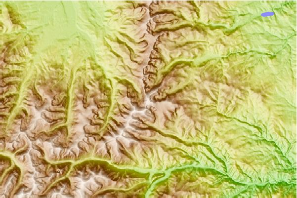
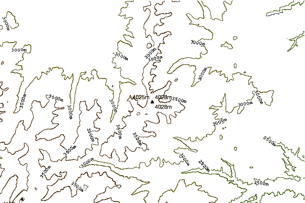
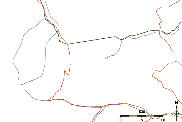
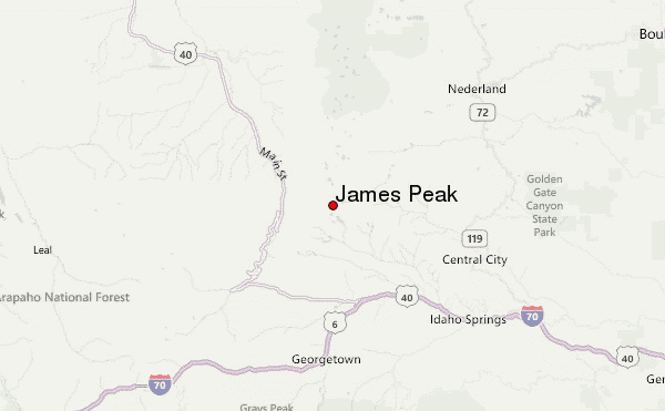
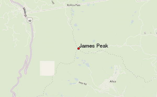
Use this relief map to navigate to mountain peaks in the area of James Peak.
10 other mountain peaks closest to James Peak:
| 1. | Parry Peak (4081 m) | 2.5 km |
| 2. | South Arapaho Peak (4083 m) | 16.6 km |
| 3. | North Arapaho Peak (4115 m) | 19.8 km |
| 4. | North Arapahoe Peak (3962 m) | 20.4 km |
| 5. | Byer's Peak (3903 m) | 21.7 km |
| 6. | Mount Sniktau (4029 m) | 24.5 km |
| 7. | Lone Eagle Peak (3633 m) | 24.5 km |
| 8. | Torreys Peak (4349 m) | 25.9 km |
| 9. | Gray Wolf Mountain (4146 m) | 26.3 km |
| 10. | Grays Peak (4350 m) | 26.6 km |
 Like us
 Follow us
