– Lat/Long: 47.06° N 11.33° E
 Ilmspitze – Climbing, Hiking & Mountaineering information
Ilmspitze – Climbing, Hiking & Mountaineering information
Ilmspitze mountain guide
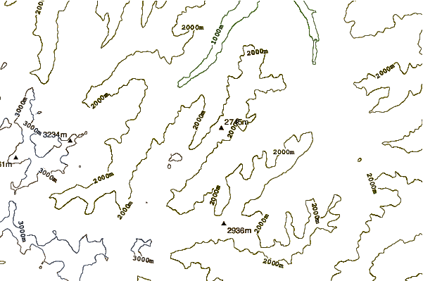
- Elevation: 2692 m
- Difficulty: Technical Climb
- Best months to climb: June, July, August
- Convenient center: Insbruck
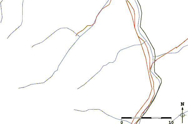
Nice mountain but not easy to reach from Gschnitz nearly 6 Hours from the Inbruck Hut around 3 hours. Fixes wires to the top with climbing aids(ferrata), very steep,but very exyting
Ilmspitze Climbing NotesBe the first to submit your climbing note! Please submit any useful information about climbing Ilmspitze that may be useful to other climbers. Consider things such as access and accommodation at the base of Ilmspitze, as well as the logistics of climbing to the summit. |
| Select a
mountain summit from the menu |
||
|
Select a Mountain Summit
|
||

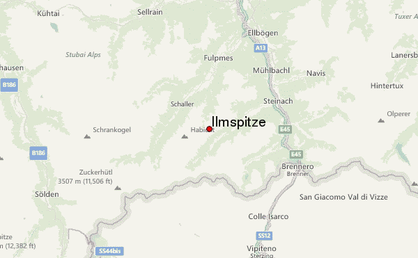
Use this relief map to navigate to mountain peaks in the area of Ilmspitze.
10 other mountain peaks closest to Ilmspitze:
| 1. | Kirchdachspitze (2840 m) | 1.1 km |
| 2. | Wasenwand (2563 m) | 3.2 km |
| 3. | Habicht (3270 m) | 3.7 km |
| 4. | Gschnitzer Tribulaun (2946 m) | 7.6 km |
| 5. | Weißwandspitze (3017 m) | 8.5 km |
| 6. | Serles (2718 m) | 8.6 km |
| 7. | Wetterspitze Aeussere (3070 m) | 8.6 km |
| 8. | Aperer Feuerstein (2968 m) | 11.1 km |
| 9. | Feuerstein (Stubai Alps) (3268 m) | 11.6 km |
| 10. | Agglsspitze (3196 m) | 12.1 km |
 Like us
 Follow us
