– Lat/Long: 19.09° N 99.48° W
 Holotepec – Climbing, Hiking & Mountaineering information
Holotepec – Climbing, Hiking & Mountaineering information
Holotepec mountain guide
- Elevation: 3000 m
- Difficulty:
- Best months to climb:
- Convenient center: Metepec
Holotepec Climbing Notes
Click here to read 1 more climbing note for Holotepec or submit your own |
| Select a
mountain summit from the menu |
||
|
Select a Mountain Summit
|
||
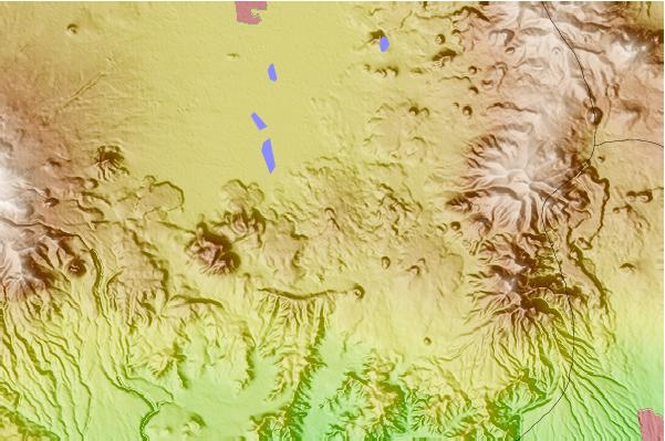
Use this relief map to navigate to mountain peaks in the area of Holotepec.
10 other mountain peaks closest to Holotepec:
| 1. | Ajusco (3960 m) | 26.9 km |
| 2. | Nevado de Toluca (4632 m) | 30.2 km |
| 3. | Xitle (3734 m) | 32.5 km |
| 4. | Chichinautzin (3930 m) | 37.0 km |
| 5. | Santa Catarina Range (2734 m) | 56.9 km |
| 6. | Tenayo Group (3080 m) | 70.2 km |
| 7. | Jocotitlan (3950 m) | 76.5 km |
| 8. | Papayo (3600 m) | 85.8 km |
| 9. | Telepon (4081 m) | 88.1 km |
| 10. | Tlalocatepetl (4119 m) | 88.1 km |
 Like us
 Follow us
