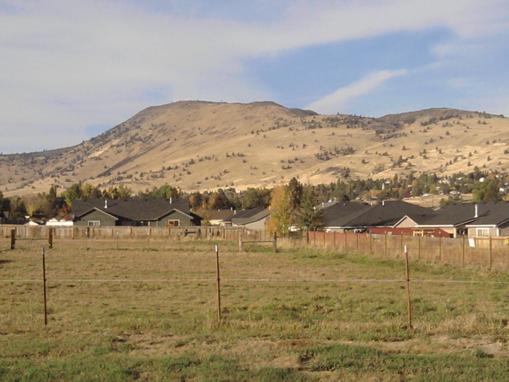
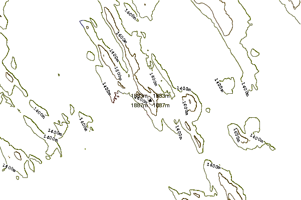
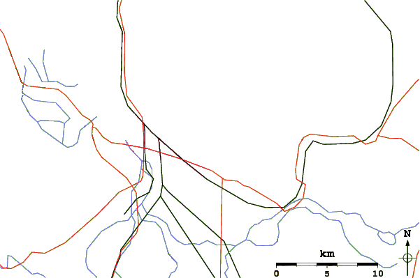
I have hiked up the hog for the last 18 years. I am close to 2400 summits. It is a difficult hike with a 2 mile one way climb, all uphill. It starts at 4200 ft and ends at 6200 ft. That comes out to 1000 ft per mile.
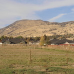
Take Patterson road to its north east corner and turn on church road. Keep right and park in the Foothills Christian Center. The trail is very visible and goes straight up. After a quarter mile, look for the ZIG ZAG trail which is moderate rather than difficult. It switches back and forth and returns to the main trail after 2 switchbacks. From there continue straight up until you reach a T, then turn left and follow that trail for about a mile along a ridge with views of the city. The top of the Hog has a bunch of antennas, a decommissioned look out tower and a port a potty. Good views exist in all directions. Head back down the same way.
WORDS OF CAUTION: Take sturdy hiking boots, good poles, water, food, sunscreen, hat. Be careful, the trail is in good shape, but steep in sections. There are a lot of ball bearings on the trail, that will provide you with a thrill that you don't need, especially if the trail is dry. If it is lightly wet the trail is OK.
Stay off the trail if it is very wet or icy. Dogs are OK.
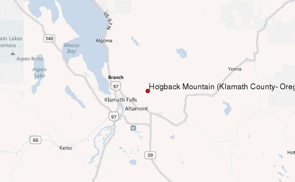
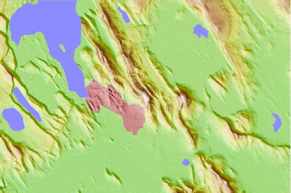
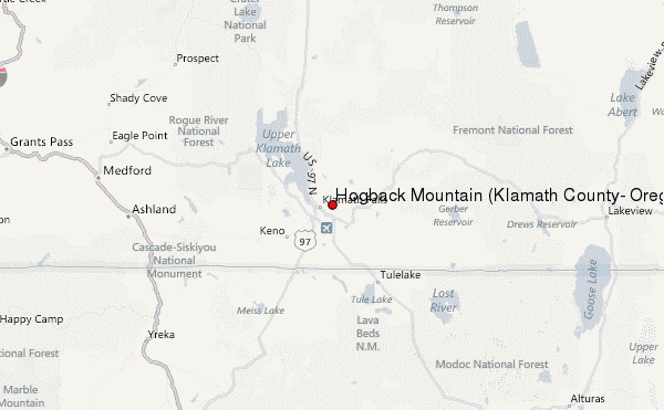
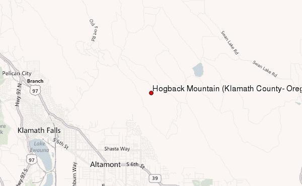
 Hogback Mountain (Klamath County, Oregon) – Climbing, Hiking & Mountaineering information
 Like us
 Follow us
