– Lat/Long: 54.49° N 2.87° W
 High Street (Lake District) – Climbing, Hiking & Mountaineering information
High Street (Lake District) – Climbing, Hiking & Mountaineering information
High Street (Lake District) mountain guide
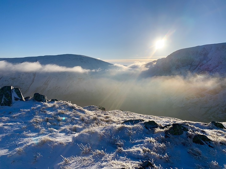
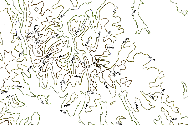
- Elevation: 828 m
- Difficulty:
- Best months to climb:
- Convenient center:
High Street (Lake District) Climbing NotesBe the first to submit your climbing note! Please submit any useful information about climbing High Street (Lake District) that may be useful to other climbers. Consider things such as access and accommodation at the base of High Street (Lake District), as well as the logistics of climbing to the summit. |
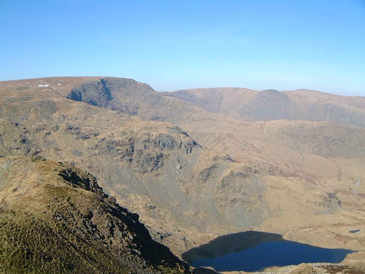
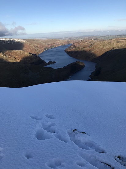
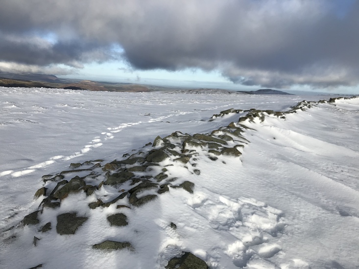
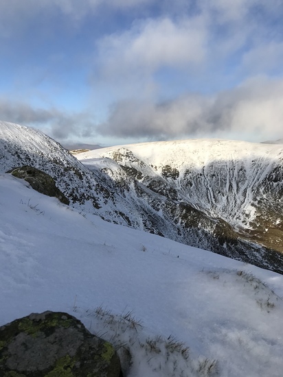
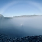
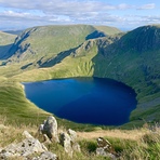
Latest Gallery Images for High Street (Lake District)

| Select a
mountain summit from the menu |
||
|
Select a Mountain Summit
|
||
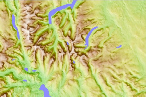
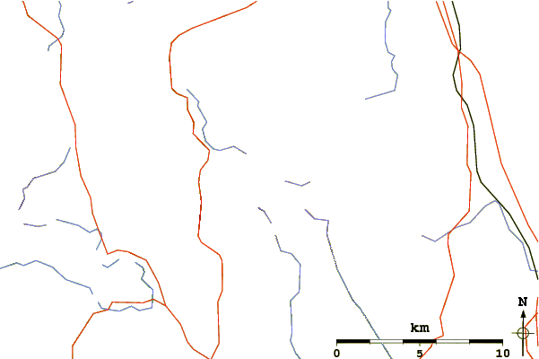
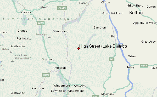
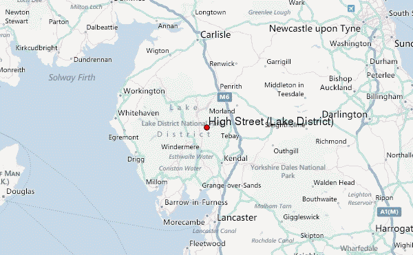
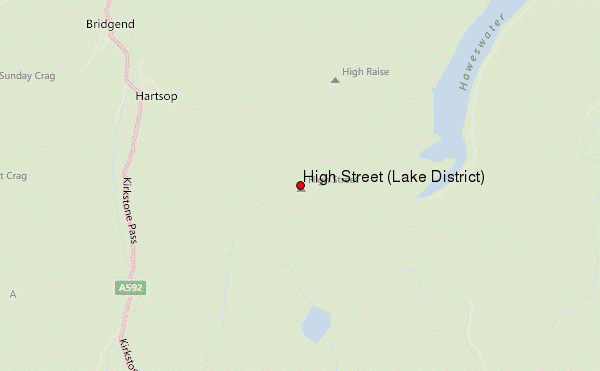
Use this relief map to navigate to mountain peaks in the area of High Street (Lake District).
10 other mountain peaks closest to High Street (Lake District):
| 1. | Mardale Ill Bell (760 m) | 1.1 km |
| 2. | Thornthwaite Crag (784 m) | 1.3 km |
| 3. | Gray Crag (699 m) | 1.5 km |
| 4. | The Knott (739 m) | 1.6 km |
| 5. | Kidsty Pike (780 m) | 1.7 km |
| 6. | Rampsgill Head (792 m) | 1.7 km |
| 7. | High Raise (High Street) (802 m) | 2.5 km |
| 8. | Stony Cove Pike (763 m) | 2.6 km |
| 9. | Froswick (720 m) | 2.6 km |
| 10. | Harter Fell (Mardale) (778 m) | 2.6 km |
 Like us
 Follow us
