– Lat/Long: 46.17° N 6.78° E
 Hauts-Forts – Climbing, Hiking & Mountaineering information
Hauts-Forts – Climbing, Hiking & Mountaineering information
Hauts-Forts mountain guide
- Elevation: 2466 m
- Difficulty:
- Best months to climb:
- Convenient center:
Hauts-Forts Climbing NotesBe the first to submit your climbing note! Please submit any useful information about climbing Hauts-Forts that may be useful to other climbers. Consider things such as access and accommodation at the base of Hauts-Forts, as well as the logistics of climbing to the summit. |
| Select a
mountain summit from the menu |
||
|
Select a Mountain Summit
|
||
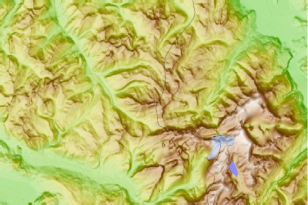
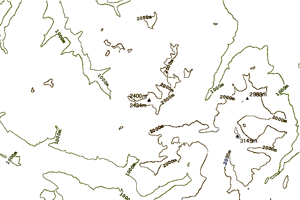
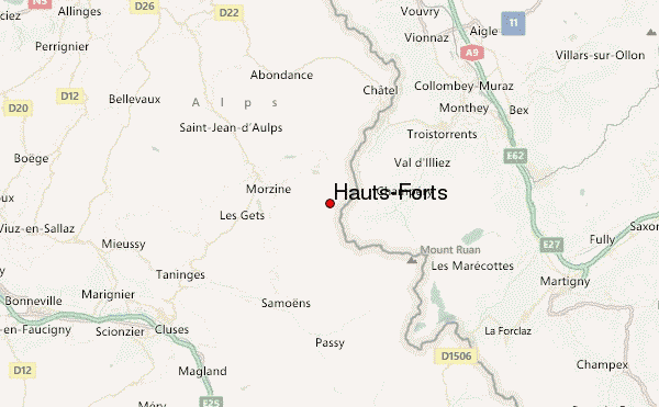
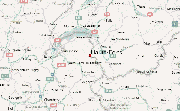
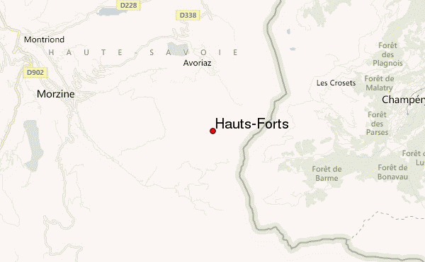
Use this relief map to navigate to mountain peaks in the area of Hauts-Forts.
10 other mountain peaks closest to Hauts-Forts:
| 1. | Pointe de Chésery (2249 m) | 4.4 km |
| 2. | Pointe de Nyon (2019 m) | 4.9 km |
| 3. | Pointe de l'Au (2152 m) | 6.0 km |
| 4. | Tête du Géant (2232 m) | 6.5 km |
| 5. | Dents Blanches (2759 m) | 6.5 km |
| 6. | Roc de Tavaneuse (2156 m) | 9.3 km |
| 7. | Mont Chéry (1826 m) | 9.9 km |
| 8. | Mont de Grange (2432 m) | 10.5 km |
| 9. | Mont Ruan (3057 m) | 10.9 km |
| 10. | Dents du Midi (3257 m) | 12.0 km |
 Like us
 Follow us
