– Lat/Long: 52.86° N 3.21° W
 Gyrn Moelfre – Climbing, Hiking & Mountaineering information
Gyrn Moelfre – Climbing, Hiking & Mountaineering information
Gyrn Moelfre mountain guide
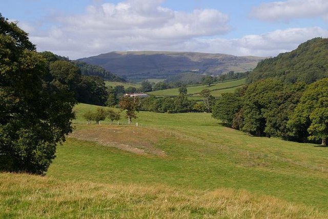
- Elevation: 523 m
- Difficulty:
- Best months to climb:
- Convenient center:
Gyrn Moelfre Climbing NotesBe the first to submit your climbing note! Please submit any useful information about climbing Gyrn Moelfre that may be useful to other climbers. Consider things such as access and accommodation at the base of Gyrn Moelfre, as well as the logistics of climbing to the summit. |
| Select a
mountain summit from the menu |
||
|
Select a Mountain Summit
|
||
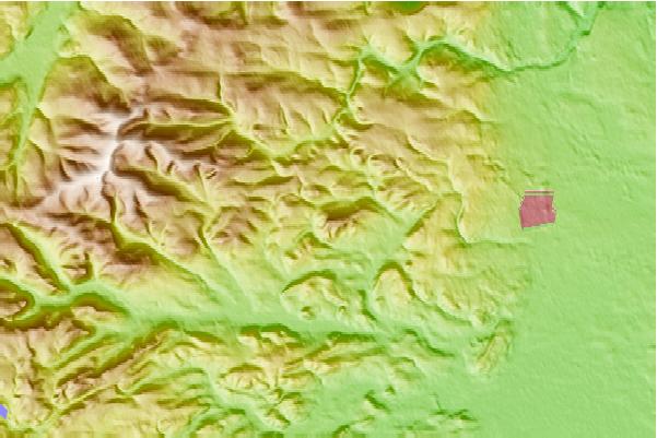
Use this relief map to navigate to mountain peaks in the area of Gyrn Moelfre.
10 other mountain peaks closest to Gyrn Moelfre:
| 1. | Shelf Bank (145 m) | 11.2 km |
| 2. | Stac Rhos (630 m) | 11.7 km |
| 3. | Tomle (742 m) | 11.7 km |
| 4. | Y Groes Fagl (659 m) | 11.7 km |
| 5. | Mynydd Tarw (681 m) | 11.7 km |
| 6. | Pen y Boncyn Trefeilw (646 m) | 11.7 km |
| 7. | Post Gwyn (665 m) | 11.7 km |
| 8. | Llechwedd Du (671 m) | 11.7 km |
| 9. | Moel yr Ewig (695 m) | 11.7 km |
| 10. | Moel y Cerrig Duon (625 m) | 11.7 km |
 Like us
 Follow us
