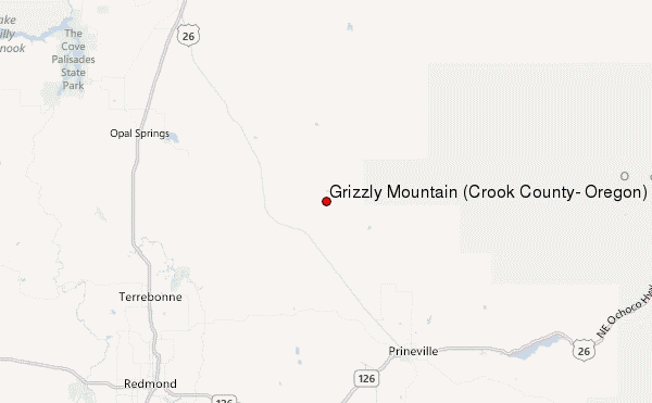
– Lat/Long: 44.44° N 120.96° W
 Grizzly Mountain (Crook County, Oregon) – Climbing, Hiking & Mountaineering information
Grizzly Mountain (Crook County, Oregon) – Climbing, Hiking & Mountaineering information
Grizzly Mountain (Crook County, Oregon) mountain guide
- Elevation: 1716 m
- Difficulty:
- Best months to climb:
- Convenient center:
Grizzly Mountain (Crook County, Oregon) Climbing Notes
Click here to submit your own climbing note for Grizzly Mountain (Crook County, Oregon) |
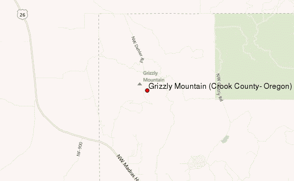
Select Grizzly Mountain (Crook County, Oregon) Location Map Detail:
| Select a
mountain summit from the menu |
||
|
Select a Mountain Summit
|
||
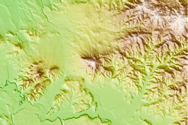
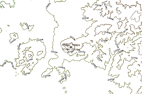
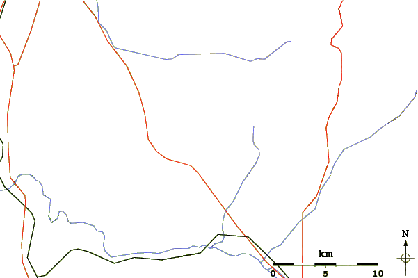
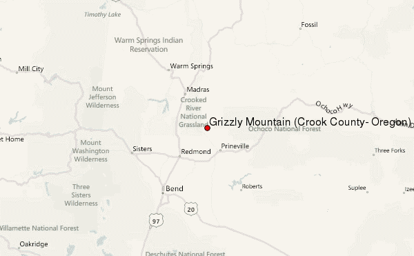
Use this relief map to navigate to mountain peaks in the area of Grizzly Mountain (Crook County, Oregon).
10 other mountain peaks closest to Grizzly Mountain (Crook County, Oregon):
| 1. | Pilot Butte (1262 m) | 49.5 km |
| 2. | Black Butte (Oregon) (1962 m) | 54.2 km |
| 3. | Blue Lake Crater (1230 m) | 64.8 km |
| 4. | Black Crater (2212 m) | 66.0 km |
| 5. | Lava Butte (1530 m) | 66.1 km |
| 6. | Three Fingered Jack (2390 m) | 70.8 km |
| 7. | Mount Washington (Oregon) (2376 m) | 71.1 km |
| 8. | Broken Top (2797 m) | 71.3 km |
| 9. | Belknap Crater (2095 m) | 72.5 km |
| 10. | Mount Jefferson (Oregon) (3199 m) | 72.7 km |
 Like us
 Follow us
