Gora Alagordy mountain guide
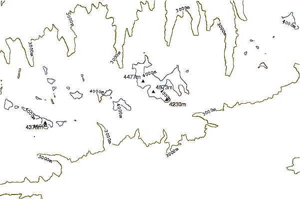
- Elevation: 4622 m
- Difficulty:
- Best months to climb:
- Convenient center:
Gora Alagordy Climbing Notes
Allistair Neil from KAZAKHSTAN writes:
Late July/August
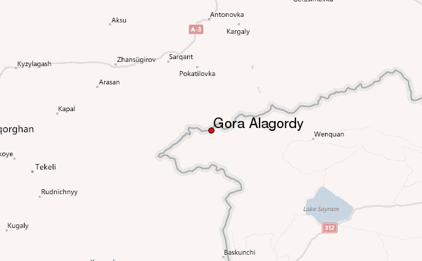
Take A350 north from Almaty, Kazakhstan to Sarkand. Enquire as to conditions at Hotel Sarkand. Permit needed. Location 60 kms to the south. Taxi to Amanbok, 5000 tng., 30 kms, camping. Continue up the valley by foot 30 kms. Base camp at 3000m by river. Peak to ESE. Aspect is west. First approach is gentle for 3kms, then rises to 150% to 200%. There are two ridges presenting the immediate face, the right ridge is better for sunshine but soft slab avalanche warning! Rope not really necessary, no belaying needed. This is a day trip but take dex with you just to be safe.
All in all a pleasant climb. Nice views over China.
2012-03-17 |
Click here to submit your own climbing note for Gora Alagordy
|
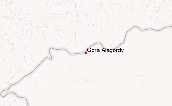
Select Gora Alagordy Location Map Detail:
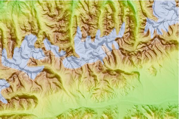
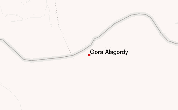
Use this relief map to navigate to mountain peaks in the area of Gora Alagordy.
10 other mountain peaks closest to Gora Alagordy:
 Gora Alagordy – Climbing, Hiking & Mountaineering information

 Like us
 Follow us
