Giewont mountain guide
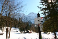
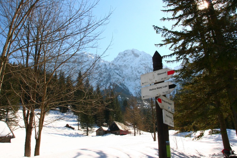
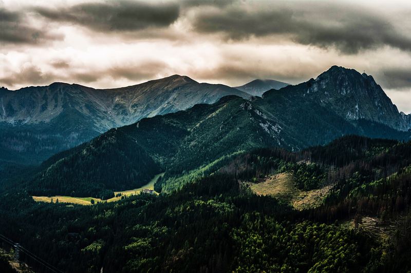
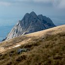
Giewont
Photo credit: Joselito Gutierrez
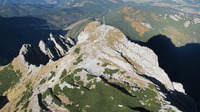
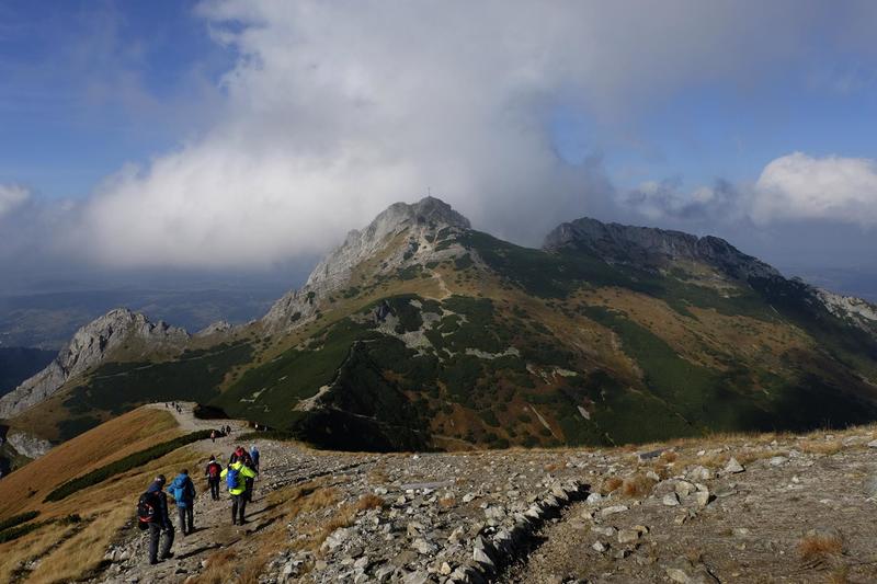
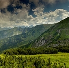
Giewont
Photo credit: Robert Turjanik
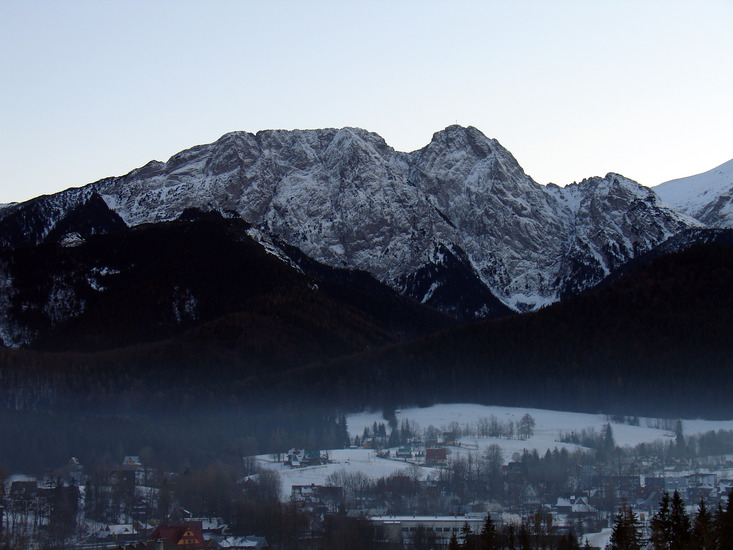
- Elevation: 1909 m
- Difficulty: Walk up
- Best months to climb: August, September
- Convenient center:
Giewont Climbing Notes
BTeasley from UNITED STATES writes:
There are two main routes to the top - up to the big cross - Giewont. Neither trail is an easy walk.
One path starts at Kuznice. The other (more difficult) starts at "parking strazyska pod giewontem". From there an easy 30 minute walk gets you to "Polana Strazyska" - which is a nice glen with a great view. Just prior to the glen is one small sign that tells you to take a hard right if you want to go all the way up to Giewont. That's when things start going more uphill.
Total time UP to the top from the parking lot for me was over 4.5 hours. This included a few short breaks and a few photos. No food, water, or bathrooms on this trail.
If you are a casual hiker, don't go if it is going to rain as some places will be very slippery. watch the weather. If it is windy, it can be scary at one part. A gust of wind blew (30, 40mph) and a girl on the trail was scared and immediately sat down, so as not to get blown away.
2017-08-14 |
Click here to read 1 more climbing note for Giewont or submit your own
|
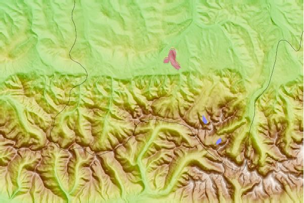
Select Giewont Location Map Detail:
Use this relief map to navigate to mountain peaks in the area of Giewont.
10 other mountain peaks closest to Giewont:
 Giewont – Climbing, Hiking & Mountaineering information


 Like us
 Follow us
