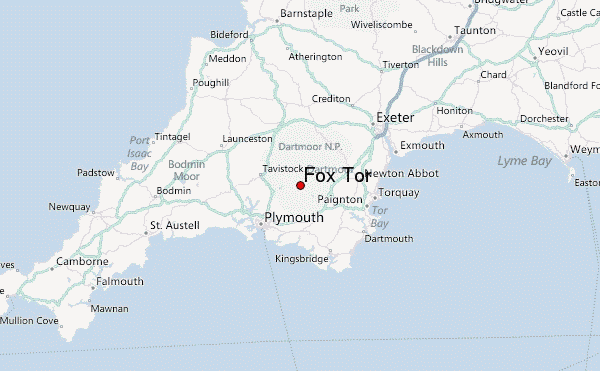
– Lat/Long: 50.51° N 3.94° W
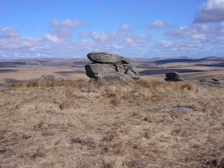
 Fox Tor – Climbing, Hiking & Mountaineering information
Fox Tor – Climbing, Hiking & Mountaineering information
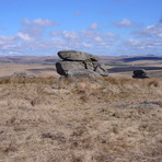
Fox Tor mountain guide
- Elevation: 438 m
- Difficulty:
- Best months to climb:
- Convenient center:
Fox Tor Climbing NotesBe the first to submit your climbing note! Please submit any useful information about climbing Fox Tor that may be useful to other climbers. Consider things such as access and accommodation at the base of Fox Tor, as well as the logistics of climbing to the summit. |

| Select a
mountain summit from the menu |
||
|
Select a Mountain Summit
|
||
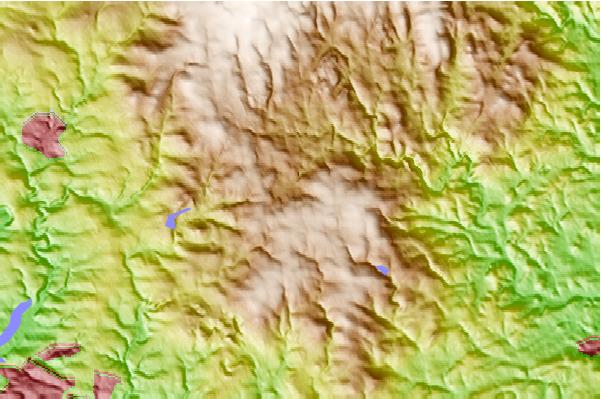
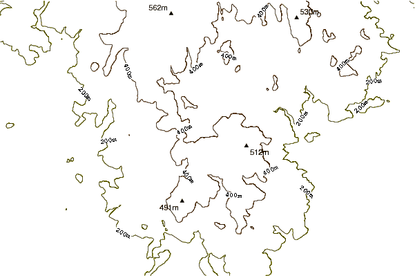
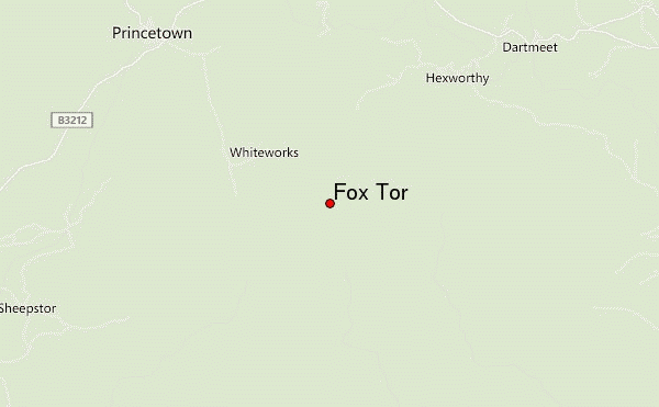
Use this relief map to navigate to mountain peaks in the area of Fox Tor.
10 other mountain peaks closest to Fox Tor:
| 1. | Beardown Tors (513 m) | 7.9 km |
| 2. | Great Mis Tor (538 m) | 9.6 km |
| 3. | Butterdon Hill (367 m) | 11.6 km |
| 4. | Yes Tor (610 m) | 12.1 km |
| 5. | Hound Tor (414 m) | 14.7 km |
| 6. | High Willhays (621 m) | 19.6 km |
| 7. | Kit Hill Country Park (334 m) | 25.1 km |
| 8. | Brown Willy (420 m) | 47.8 km |
| 9. | Brendon Hills (423 m) | 74.8 km |
| 10. | Dunkery Beacon (520 m) | 76.5 km |
 Like us
 Follow us
