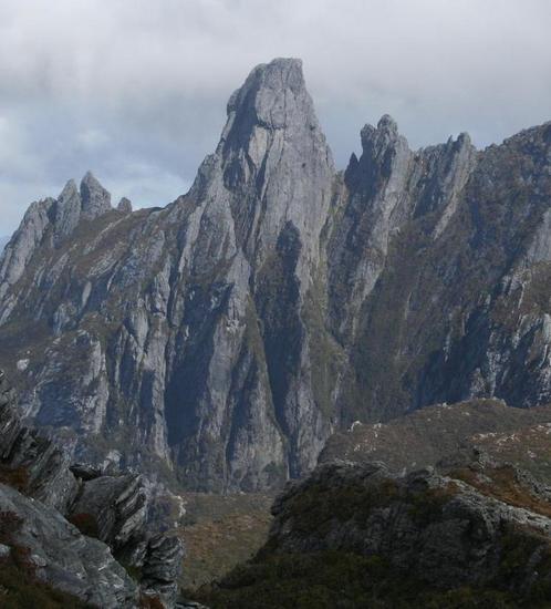
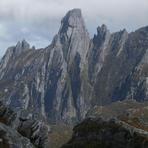
Federation Peak mountain guide
- Elevation: 1274 m
- Difficulty: Scramble
- Best months to climb: January, February, December
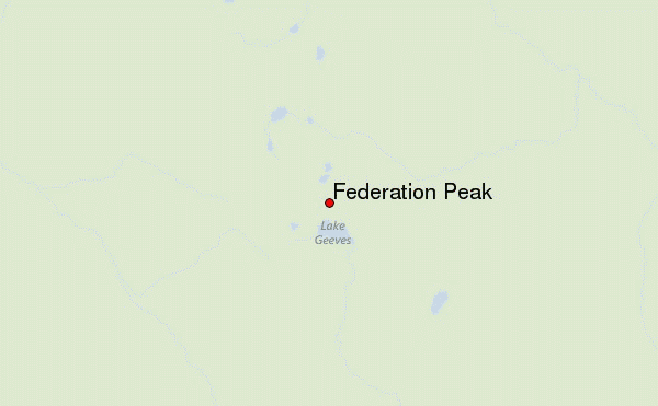
- Convenient center: Hobart
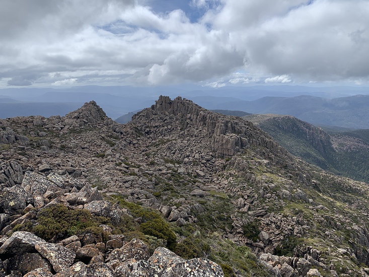
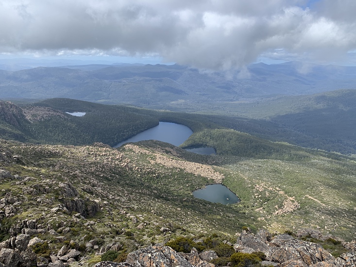
Federation Peak Climbing Notes
Dave T from AUSTRALIA writes:
Suggest checking Cracroft River flow/height with Rangers before heading off if starting from Huon end of Eastern Arthurs. Normally it’s a 5m creek crossing, but when we got to it after a gruelling 38km day it was 40m and impassable (with 20kg pack and over head height and cold). You see the river at many points on the trail out, if you don’t think you can safely cross at whatever flow it is early in day, suggest reconsider; it’s a long trip back out next day.
Track out also in poor shape with hundreds of fallen trees over track, and very lightly used trail, difficult to find in places.
2022-12-18 |
Click here to read 1 more climbing note for Federation Peak or submit your own
|

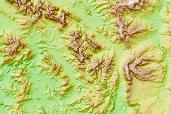
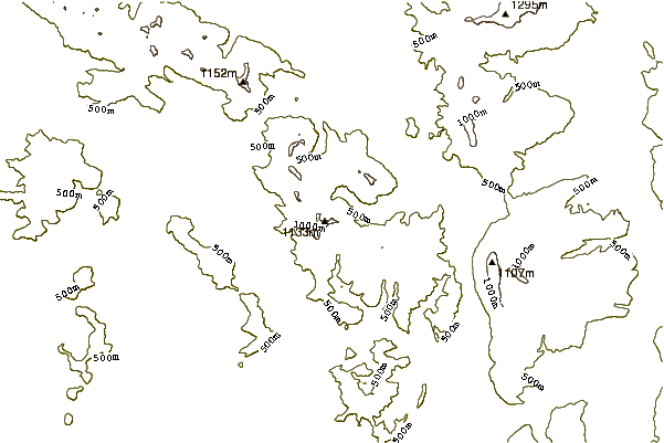
Select Federation Peak Location Map Detail:
Use this relief map to navigate to mountain peaks in the area of Federation Peak.
10 other mountain peaks closest to Federation Peak:
 Federation Peak – Climbing, Hiking & Mountaineering information
 Like us
 Follow us
