– Lat/Long: 42.94° N 4.80° W
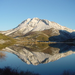
 Espiguete – Climbing, Hiking & Mountaineering information
Espiguete – Climbing, Hiking & Mountaineering information
Espiguete mountain guide
- Elevation: 2450 m
- Difficulty: Walk up
- Best months to climb: July, August, September
- Convenient center: Cardao de Abajo
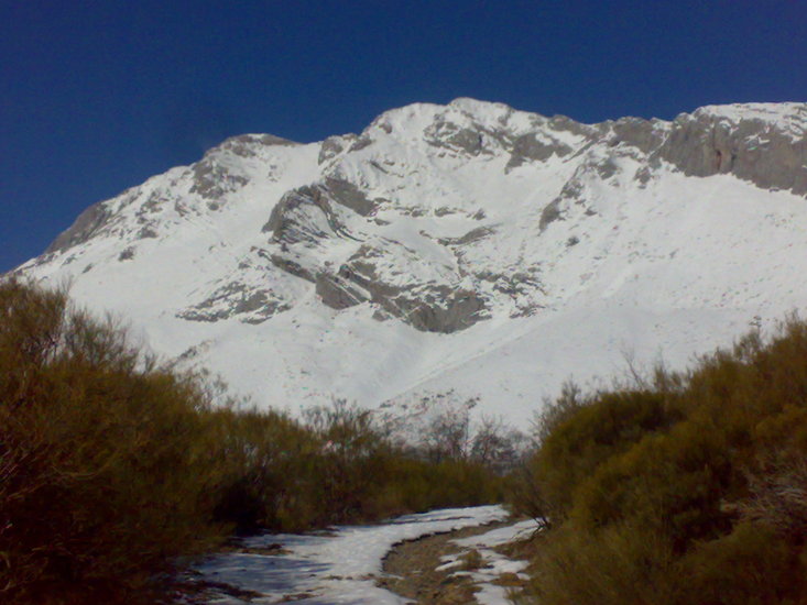
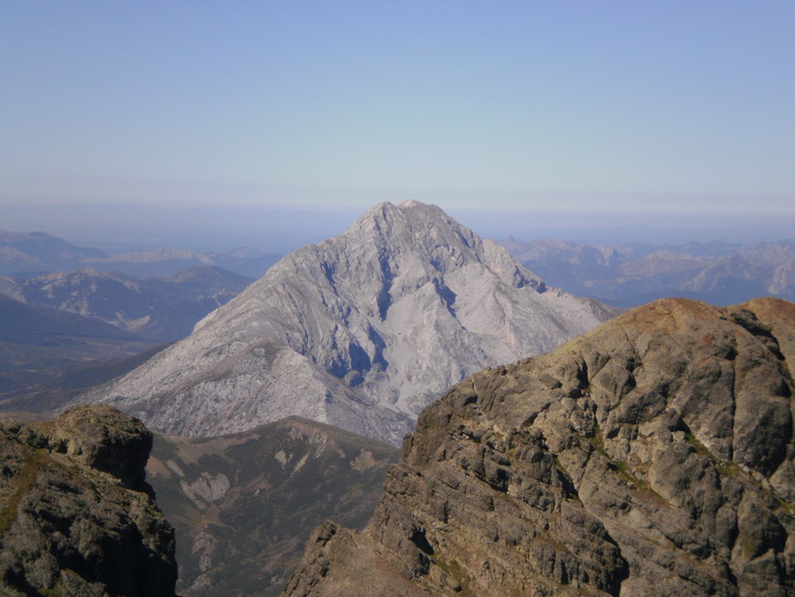
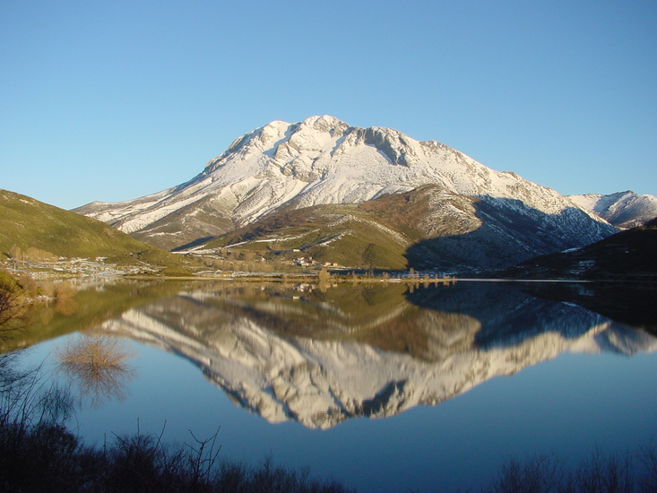
Espigüete is one of the highest peaks of the Cantabrian mountain chain. With good summer conditions, the normal access routes are easy. In winter, with the ice and snow on the ground, some climbs pose a certain technical challenge.
Espiguete Climbing NotesBe the first to submit your climbing note! Please submit any useful information about climbing Espiguete that may be useful to other climbers. Consider things such as access and accommodation at the base of Espiguete, as well as the logistics of climbing to the summit. |
| Select a
mountain summit from the menu |
||
|
Select a Mountain Summit
|
||
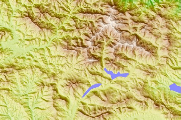
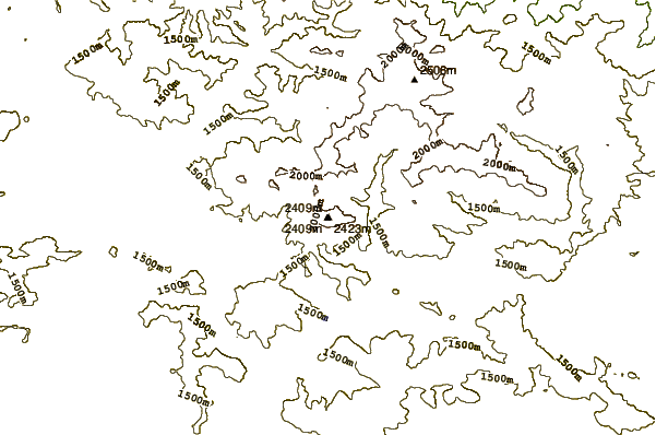
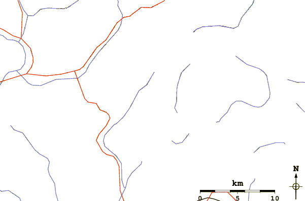
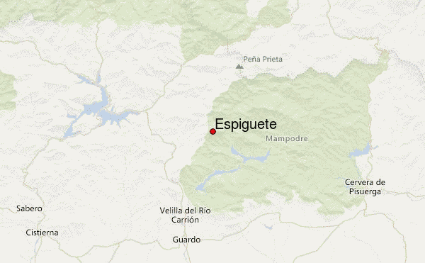
Use this relief map to navigate to mountain peaks in the area of Espiguete.
10 other mountain peaks closest to Espiguete:
| 1. | Coriscao (2234 m) | 15.8 km |
| 2. | Penas Pintas (1983 m) | 24.8 km |
| 3. | Torre de Cerredo (2648 m) | 28.5 km |
| 4. | Naranjo de Bulnes (2519 m) | 28.5 km |
| 5. | Torrecerredo (2648 m) | 28.6 km |
| 6. | Picu Urriellu (2519 m) | 28.6 km |
| 7. | Pico Remelende (1888 m) | 38.8 km |
| 8. | Sierra de Cuera (1315 m) | 45.6 km |
| 9. | Castro Valnera (1718 m) | 93.4 km |
| 10. | Peña Ubiña (2417 m) | 94.9 km |
 Like us
 Follow us
