Emigrant Peak mountain guide
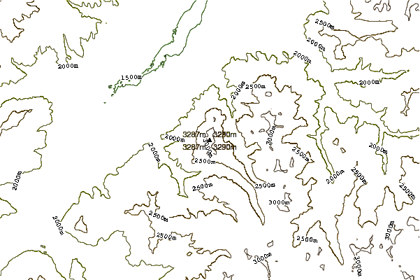
- Elevation: 3327 m
- Difficulty:
- Best months to climb:
- Convenient center:
Emigrant Peak Climbing Notes
Jason from UNITED STATES writes:
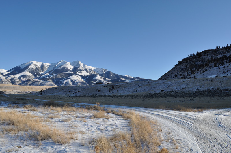
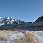
My son and I went up on 6/25/2014. Trail is steady incline and not well marked. After a wooded area next to a stream, there is a grassy area leading up to a fenced private property, toward the top of the grassy area the fence ends, at this point look for orange markers in the trees in line with the fence for trail. We went to the right in front of a bunch of cut logs at the face of the wood line without seeing these markers until we descended hours later. We did meet back up with the trail after a large scree area. It was a great hike. Amazing views. Grizzly Bear area. Be Safe
2014-06-29 |
Click here to submit your own climbing note for Emigrant Peak
|
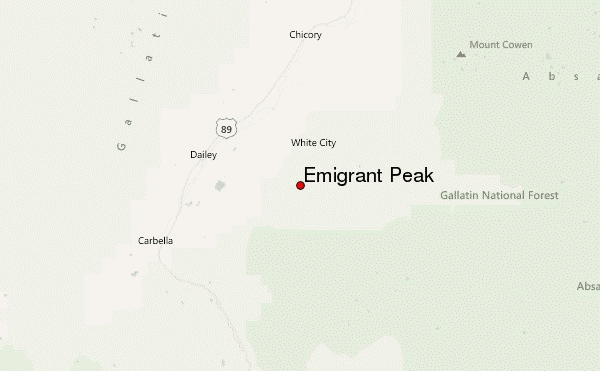
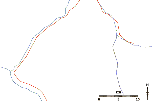
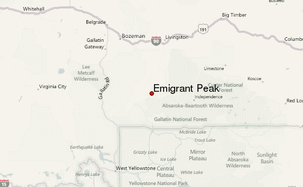
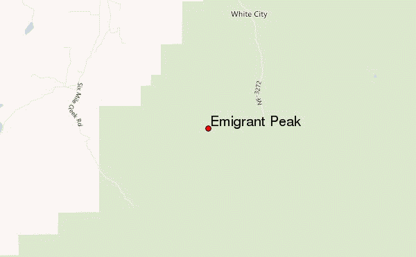
Select Emigrant Peak Location Map Detail:
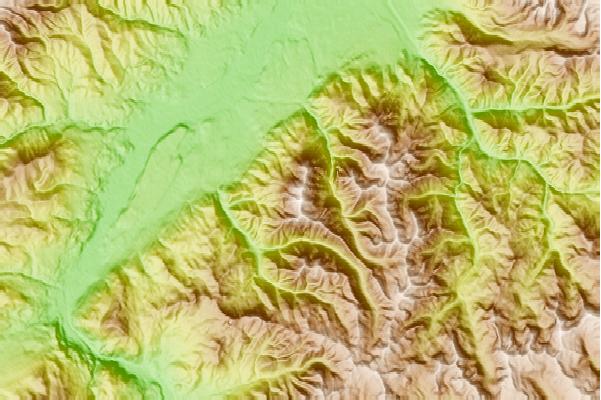
Use this relief map to navigate to mountain peaks in the area of Emigrant Peak.
10 other mountain peaks closest to Emigrant Peak:
 Emigrant Peak – Climbing, Hiking & Mountaineering information
 Like us
 Follow us
