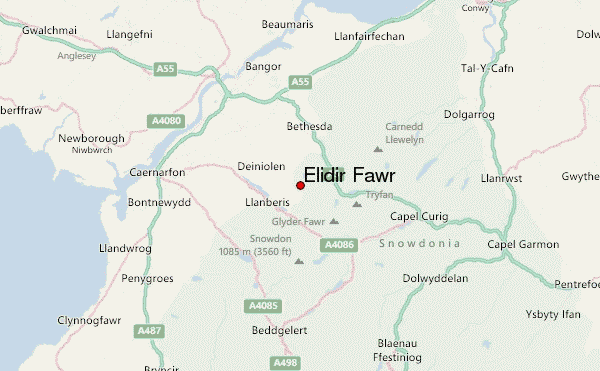
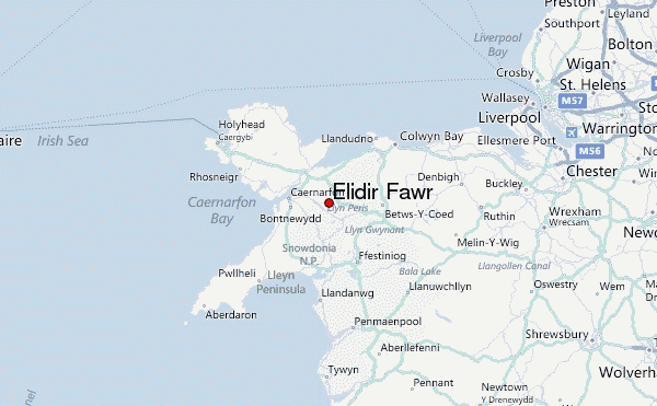
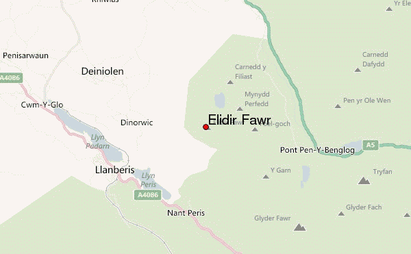
– Lat/Long: 53.13° N 4.08° W
 Elidir Fawr – Climbing, Hiking & Mountaineering information
Elidir Fawr – Climbing, Hiking & Mountaineering information
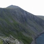
Elidir Fawr mountain guide
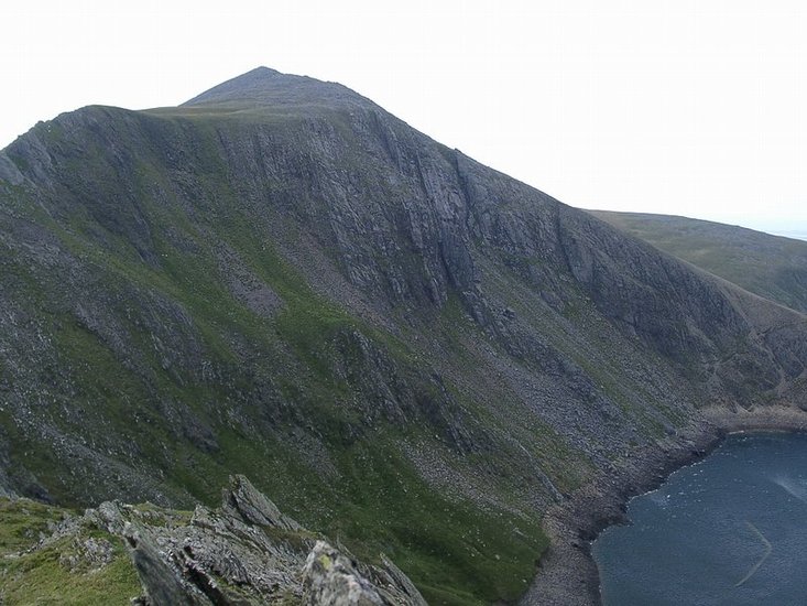
- Elevation: 924 m
- Difficulty:
- Best months to climb:
- Convenient center:
Elidir Fawr Climbing NotesBe the first to submit your climbing note! Please submit any useful information about climbing Elidir Fawr that may be useful to other climbers. Consider things such as access and accommodation at the base of Elidir Fawr, as well as the logistics of climbing to the summit. |
| Select a
mountain summit from the menu |
||
|
Select a Mountain Summit
|
||
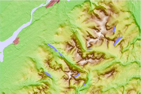
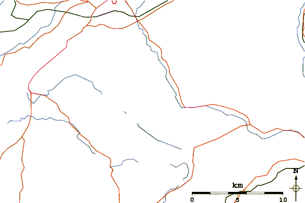
Use this relief map to navigate to mountain peaks in the area of Elidir Fawr.
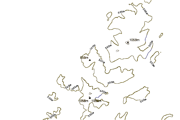
10 other mountain peaks closest to Elidir Fawr:
| 1. | Mynydd Perfedd (812 m) | 1.4 km |
| 2. | Y Fronllwyd (721 m) | 1.9 km |
| 3. | Carnedd y Filiast (Glyderau) (821 m) | 1.9 km |
| 4. | Y Garn (Glyderau) (947 m) | 2.6 km |
| 5. | Glyder Fawr (999 m) | 4.5 km |
| 6. | Carnedd Dafydd (1044 m) | 5.1 km |
| 7. | Foel Meirch (800 m) | 5.3 km |
| 8. | Castell y Gwynt (972 m) | 5.3 km |
| 9. | Tryfan (915 m) | 5.5 km |
| 10. | Moel Cynghorion (674 m) | 5.7 km |
 Like us
 Follow us
