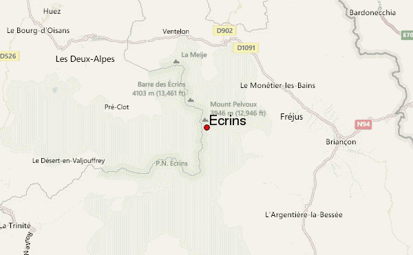
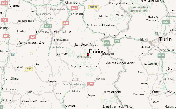
Stay in Ailefroide (you won't want to leave!), drive up to the end of the valley at Cezanne (Cafe/small hotel there called Pre de Madame Carle, huge car park needing a ticket for two days). Aim to leave Cezanne around midday - or earlier if you want to avoid the heat!
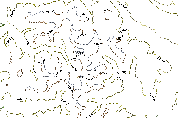
Walk up zigzags with all the tourists to the point where the path splits left to Glacier Noir and right to Glacier Blanc. Go right and continue up the zigzags to the flat area below the Glacier Blanc snout where all the tourists will be eating picnics. Cross the glacier river and go up rougher path to the Refuge Glacier Blanc - here you can pick up water and buy a meal if you want to. About 3hrs from Cezanne.
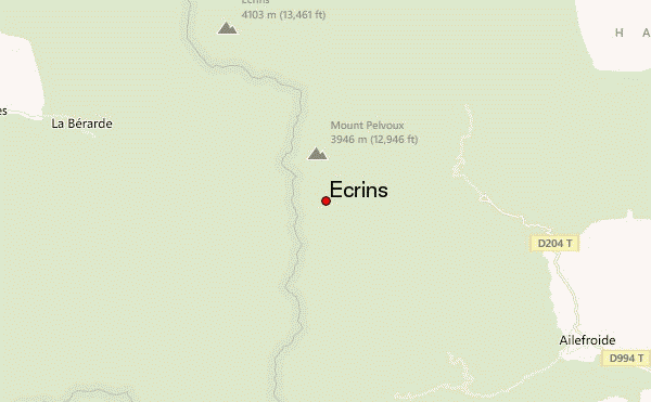
Walk behind the refuge Gl Blanc, trending left and go up the moraine on the left bank of the Glacier Blanc to the refuge Ecrins (3170m, about 5 hrs from Cezanne - very steep but short scree path up from the glacier to the hut. Hut is usually very busy and must be booked but there are bivi spots on some rocks - with water! - about 20 minutes further along the glacier on the same route that you will follow in the morning).
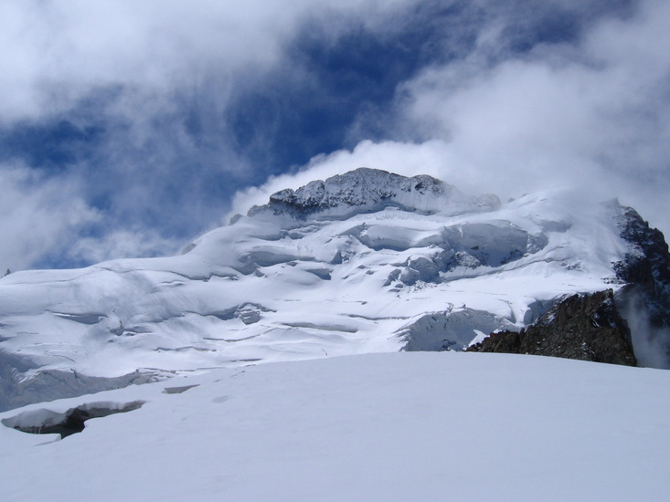
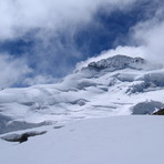
Leave hut around 4am or the bivi around 4:30am. Descend from the hut back to the glacier. Walk along glacier past the bivi spots then cross the glacier near its end (not much crevasse danger) and follow what will be an obvious deep scar in the snow up the north face of the Ecrins (quite serious serac danger here) 40 deg snow slope.
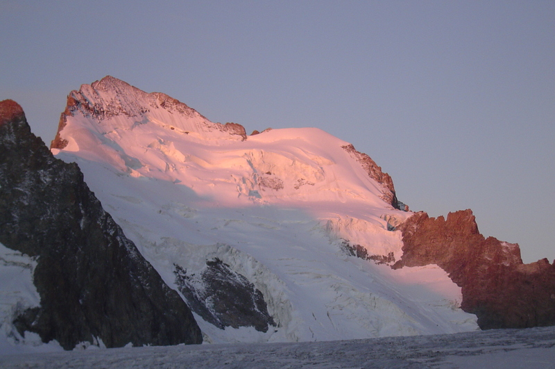
At the bergschrund the route changes some years. Most times take a rising traverse to the right towards an obvious notch in the ridge (Breche Lory 3974m). Cross the begshcrund here. Now you can continue going right up to the Dome de Neige (4015m), where many people stop or go left to do the highest summit, the Barre des Ecrins (4101m)
To do the Barre, turn left and follow the obvious rock ridge (steep at first, grade II may be icy). Ridge gets less step but more exposed and narrow. Go over a subsidery peak Pic Lory (4086m) then up to the Barre des Ecrins (4101m). Descend by reversing route back to Cezanne arriving in the afternoon of the same day. Around 30 hrs round trip from Cezanne including sleeping.
If you bivi, a good 3 day trip is to first do the Roche Forio on the right bank of the glacier, return to your bivi and do the Ecrins on the left bank the following day. The Roche Forio is a straight forward snow climb with a couple of crevasses but has very good views, particularly of your route on the Ecrins.
 Ecrins – Climbing, Hiking & Mountaineering information
 Like us
 Follow us
