– Lat/Long: 36.97° S 70.70° W
 Domuyo – Climbing, Hiking & Mountaineering information
Domuyo – Climbing, Hiking & Mountaineering information
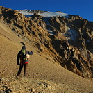
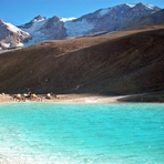
Domuyo mountain guide
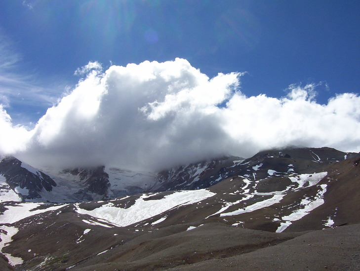
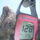
- Elevation: 4709 m
- Difficulty: Basic Snow and Ice Climb
- Best months to climb: January, February, March, December
- Convenient center: Chos Malal
Domuyo Climbing NotesBe the first to submit your climbing note! Please submit any useful information about climbing Domuyo that may be useful to other climbers. Consider things such as access and accommodation at the base of Domuyo, as well as the logistics of climbing to the summit. |
| Select a
mountain summit from the menu |
||
|
Select a Mountain Summit
|
||
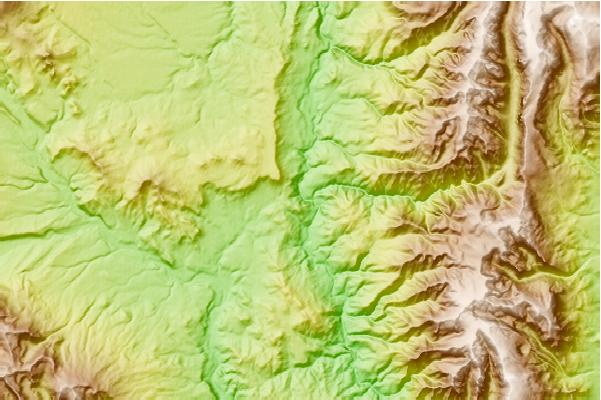
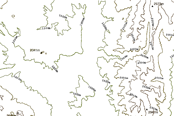
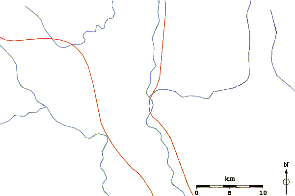
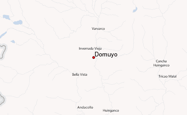
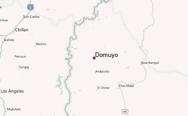
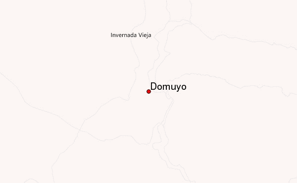
Use this relief map to navigate to mountain peaks in the area of Domuyo.
10 other mountain peaks closest to Domuyo:
| 1. | Volcan Domuyo (4709 m) | 45.0 km |
| 2. | Volcan Resago (1550 m) | 60.8 km |
| 3. | Nevados de Chillán (3212 m) | 61.3 km |
| 4. | Tromen (3978 m) | 62.6 km |
| 5. | Antuco Volcano (2979 m) | 75.5 km |
| 6. | Antuco (2953 m) | 75.5 km |
| 7. | Loma Blanca (2268 m) | 80.6 km |
| 8. | Cochiquito Volcanic Group (1435 m) | 81.7 km |
| 9. | Sierra Velluda (3585 m) | 85.6 km |
| 10. | Nevado De Longavi (3242 m) | 95.5 km |
 Like us
 Follow us
