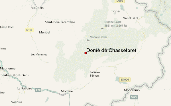
– Lat/Long: 45.33° N 6.76° E
 Dôme de Chasseforêt – Climbing, Hiking & Mountaineering information
Dôme de Chasseforêt – Climbing, Hiking & Mountaineering information
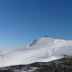
Dôme de Chasseforêt mountain guide
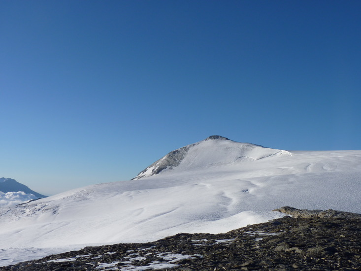
- Elevation: 3586 m
- Difficulty:
- Best months to climb:
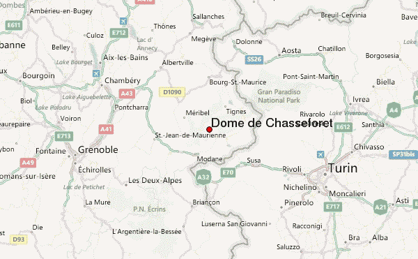
- Convenient center:
Dôme de Chasseforêt Climbing NotesBe the first to submit your climbing note! Please submit any useful information about climbing Dôme de Chasseforêt that may be useful to other climbers. Consider things such as access and accommodation at the base of Dôme de Chasseforêt, as well as the logistics of climbing to the summit. |
| Select a
mountain summit from the menu |
||
|
Select a Mountain Summit
|
||
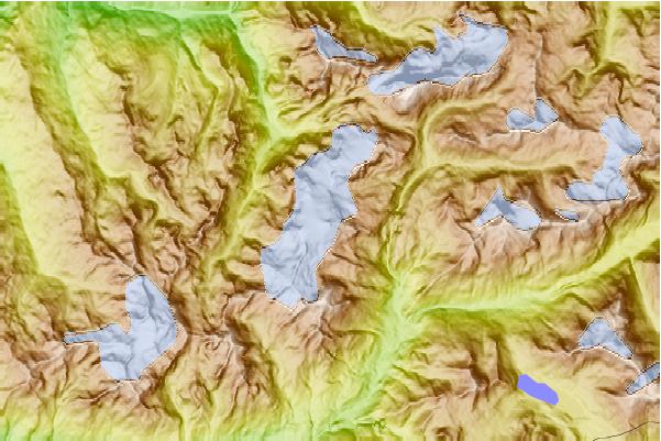
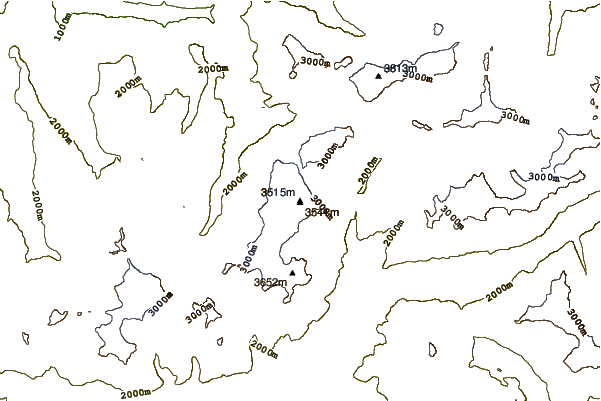
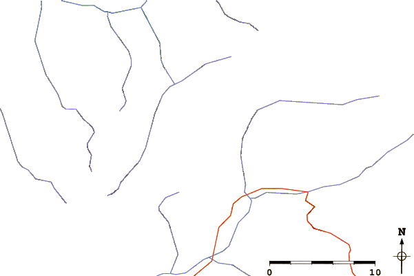
Use this relief map to navigate to mountain peaks in the area of Dôme de Chasseforêt.
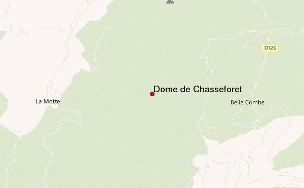
10 other mountain peaks closest to Dôme de Chasseforêt:
| 1. | Dôme des Nants (3570 m) | 1.7 km |
| 2. | Dôme de l'Arpont (3599 m) | 1.9 km |
| 3. | Dôme des Sonnailles (3361 m) | 2.0 km |
| 4. | Mont Pelve (3261 m) | 3.3 km |
| 5. | Pointe du Dard (3206 m) | 3.7 km |
| 6. | Dent Parrachée (3697 m) | 4.4 km |
| 7. | Pointe de la Fournache (3639 m) | 4.8 km |
| 8. | Roche Chevrière (3281 m) | 5.2 km |
| 9. | Pointe de la Réchasse (3212 m) | 5.7 km |
| 10. | Col de la Vanoise (2522 m) | 7.1 km |
 Like us
 Follow us
