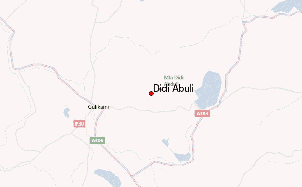
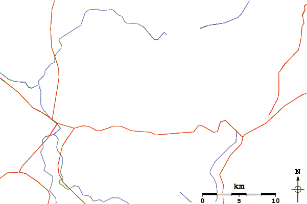
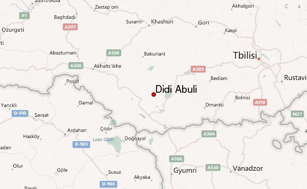
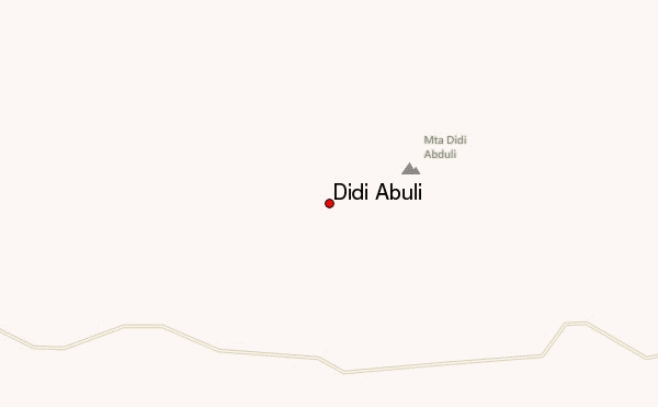
Didi Abuli can be climbed from several directions.
Southeast, from the village of Poka at lake Paravani (which I did)or west, and south-west.
Poka can be reached with Mashrutka form Tbilisi Somgori station twice a day. Departure 8:30 am 15:00 (times can change) The Mashrutka needs about 3 hours to get there. At the village follow just the main gravel road for about 1km and then turn left to pastures towards the peak (if visible) at Northwest. The climb or better say hike is easy, but do not underestimate the distance of about 12 km to the foot of the mountain. It took me under good weather conditions 4 hours with heavy backpack (tent, kitchen, etc).
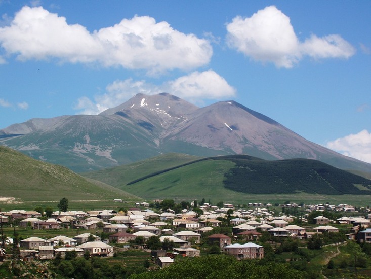
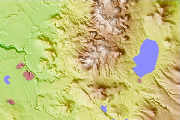
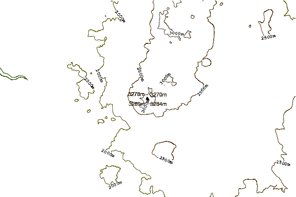
I camped at a snow field to the east of the peak 2800m. Be aware that there are wolves and even brown bears. I didn't see one but saw footprints of both, even at the peak in October (it was already snow covered), that really surprised me.
For the peak it took me other 2 hours including backpack, because I traversed to the west and went down there to the next village. It can be very windy, chilly a the peak (comparable to Damavand). The way down to about 2800m was a little bit difficult because of a lot of loose rock. The rest was pasture to the village at the west (about 10km). At this point there is no public transport, but people from the village organize you a taxi where ever you want to.
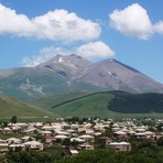
Summary: Nice views in good weather conditions
many lakes all around the high plateau
Highest mountain in lesser Caucasus in Georgia
easy-middle (depending on weather conditions)
 Didi Abuli – Climbing, Hiking & Mountaineering information
 Like us
 Follow us
