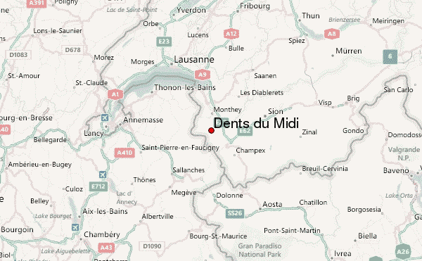
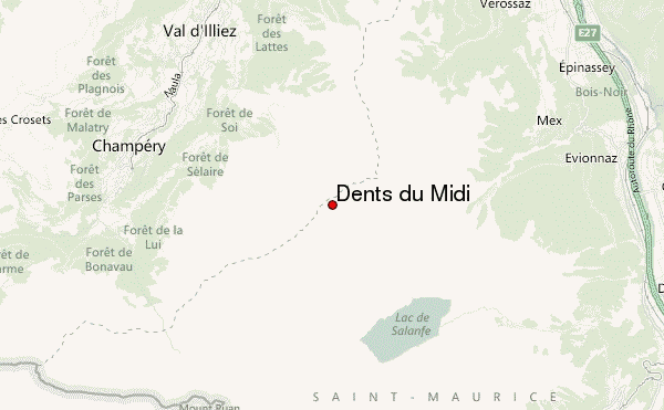
– Lat/Long: 46.17° N 6.93° E
 Dents du Midi – Climbing, Hiking & Mountaineering information
Dents du Midi – Climbing, Hiking & Mountaineering information
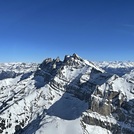
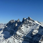
Dents du Midi mountain guide
- Elevation: 3257 m
- Difficulty: Walk up
- Best months to climb: June, July, August, September
- Convenient center: Champery, Monthey, Martigny
Dents du Midi Climbing NotesBe the first to submit your climbing note! Please submit any useful information about climbing Dents du Midi that may be useful to other climbers. Consider things such as access and accommodation at the base of Dents du Midi, as well as the logistics of climbing to the summit. |

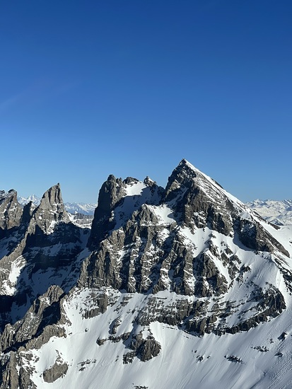
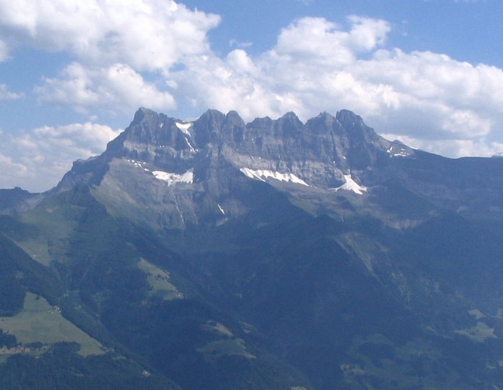
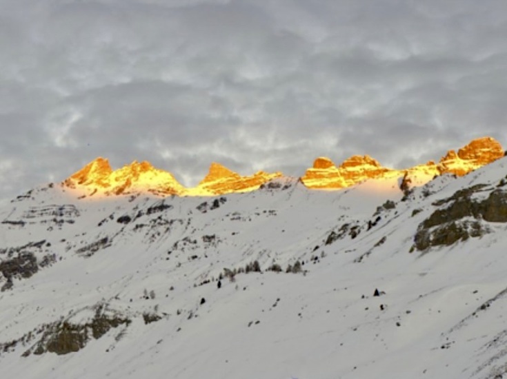
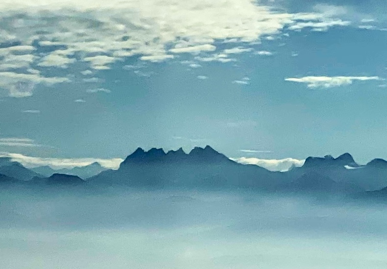
Latest Gallery Images for Dents du Midi

| Select a
mountain summit from the menu |
||
|
Select a Mountain Summit
|
||
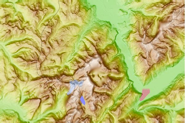

Use this relief map to navigate to mountain peaks in the area of Dents du Midi.
10 other mountain peaks closest to Dents du Midi:
| 1. | Tour Sallière (3220 m) | 4.5 km |
| 2. | Dent du Salantin (2482 m) | 5.1 km |
| 3. | Mont Ruan (3057 m) | 5.3 km |
| 4. | Le Luisin (2786 m) | 5.8 km |
| 5. | Fontanabran (2703 m) | 7.4 km |
| 6. | Pointe de l'Au (2152 m) | 8.0 km |
| 7. | Dents Blanches (2759 m) | 8.0 km |
| 8. | Tête du Géant (2232 m) | 10.7 km |
| 9. | Pointe de Bellevue (2042 m) | 10.8 km |
| 10. | Pointe de Chésery (2249 m) | 10.9 km |
 Like us
 Follow us
