– Lat/Long: 32.95° N 116.61° W
 Cuyamaca Peak – Climbing, Hiking & Mountaineering information
Cuyamaca Peak – Climbing, Hiking & Mountaineering information
Cuyamaca Peak mountain guide
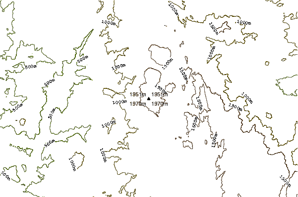
- Elevation: 1985 m
- Difficulty:
- Best months to climb:
- Convenient center:
Cuyamaca Peak Climbing NotesBe the first to submit your climbing note! Please submit any useful information about climbing Cuyamaca Peak that may be useful to other climbers. Consider things such as access and accommodation at the base of Cuyamaca Peak, as well as the logistics of climbing to the summit. |

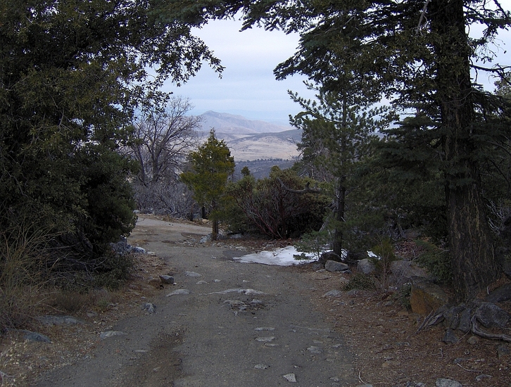
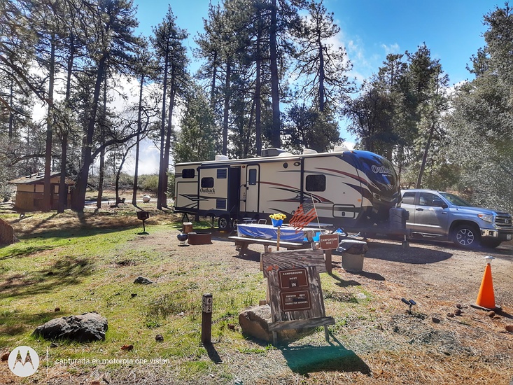
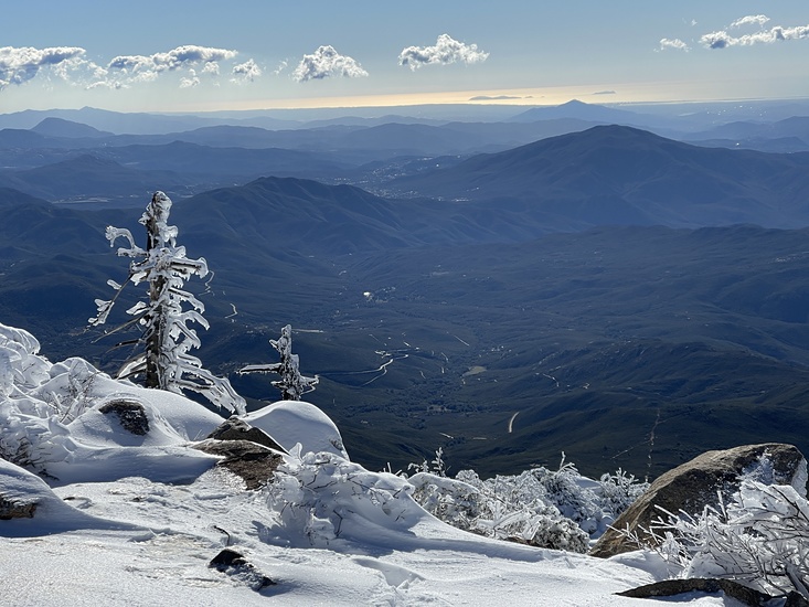
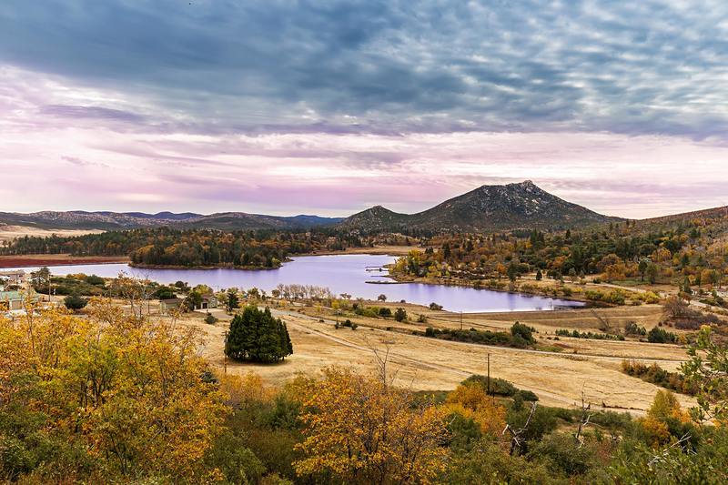
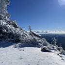
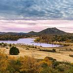
Latest Gallery Images for Cuyamaca Peak
| Select a
mountain summit from the menu |
||
|
Select a Mountain Summit
|
||
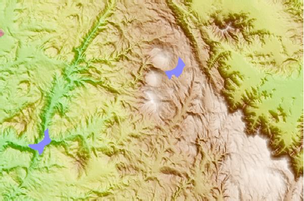
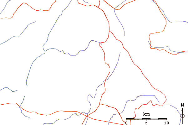
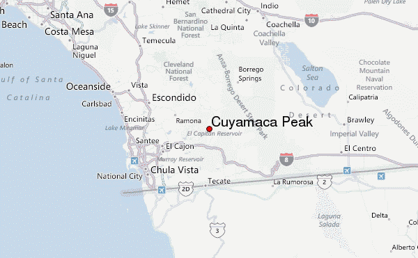
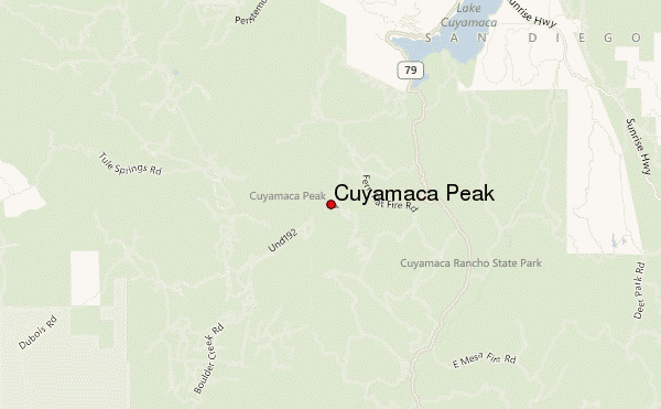
Use this relief map to navigate to mountain peaks in the area of Cuyamaca Peak.
10 other mountain peaks closest to Cuyamaca Peak:
| 1. | Oakzanita Peak (1540 m) | 7.5 km |
| 2. | Black Mountain (San Diego County) (1234 m) | 30.3 km |
| 3. | Hot Springs Mountain (1992 m) | 41.0 km |
| 4. | Cowles Mountain (485 m) | 42.4 km |
| 5. | Palomar Mountain (1872 m) | 51.0 km |
| 6. | Coyote Mountain (California) (973 m) | 51.1 km |
| 7. | Double Peak (San Diego County, California) (501 m) | 56.3 km |
| 8. | Blue Angels Peak (1387 m) | 60.3 km |
| 9. | Mount Soledad (251 m) | 61.5 km |
| 10. | Toro Peak (2657 m) | 66.3 km |
 Like us
 Follow us
