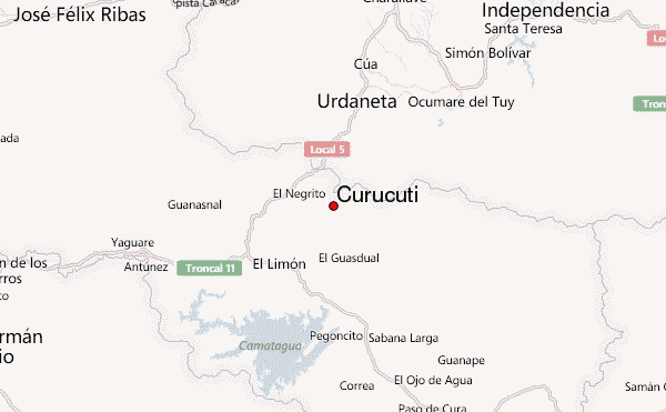
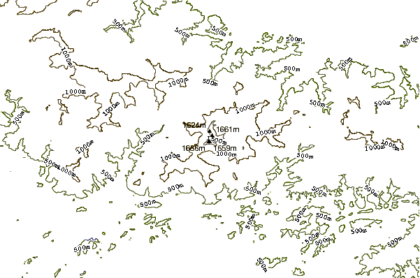
Curucutí mountain guide
- Elevation: 1730 m
- Difficulty: Scramble
- Best months to climb: January, February, March, April
- Convenient center: San Casimiro
Curucutí Climbing Notes
Eloy G. Boulton from VENEZUELA writes:
Best months for climbing: dry season. From december to april
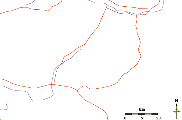
Access: from Caracas, take the highway Autopista Regional del Centro, exit at Charallave and head towards San Casimiro (paved road). On the way (before reaching San Casimiro) ask for the small town La Providencia (it's a 5 km. ride by a narrow and in not very good conditions road). Look for a local resident to help you identify the mountain. It is a tropical cloud-forest mountain. The route is tough and there is not a market trail. Very few people have reached the summit, so be careful. An intermediate camp (with hammock rather than tent)is advisable.
Supplies: Caracas, Charallave or San Casimiro.
2010-11-23 |
Click here to submit your own climbing note for Curucutí
|
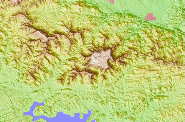
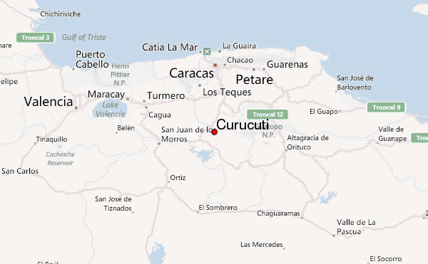
Select Curucutí Location Map Detail:
Use this relief map to navigate to mountain peaks in the area of Curucutí.
10 other mountain peaks closest to Curucutí:
 Curucutí – Climbing, Hiking & Mountaineering information
 Like us
 Follow us
