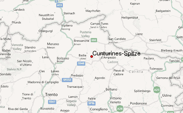
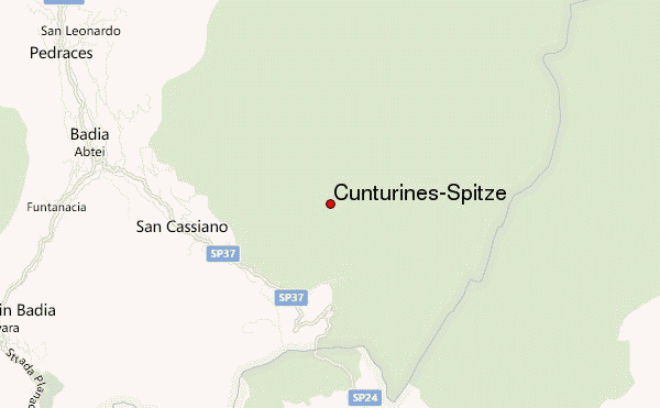
– Lat/Long: 46.58° N 11.98° E
 Cunturines-Spitze – Climbing, Hiking & Mountaineering information
Cunturines-Spitze – Climbing, Hiking & Mountaineering information
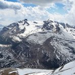
Cunturines-Spitze mountain guide
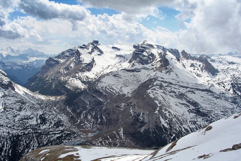
- Elevation: 3064 m
- Difficulty:
- Best months to climb:
- Convenient center:
Cunturines-Spitze Climbing NotesBe the first to submit your climbing note! Please submit any useful information about climbing Cunturines-Spitze that may be useful to other climbers. Consider things such as access and accommodation at the base of Cunturines-Spitze, as well as the logistics of climbing to the summit. |
| Select a
mountain summit from the menu |
||
|
Select a Mountain Summit
|
||
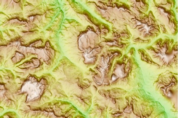
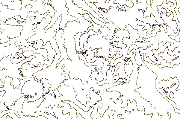
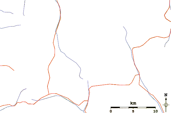
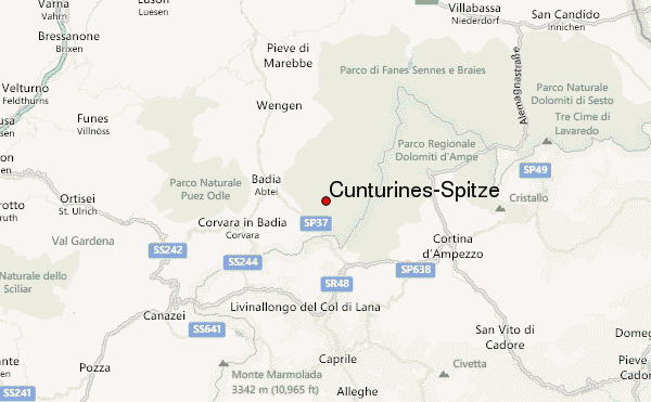
Use this relief map to navigate to mountain peaks in the area of Cunturines-Spitze.
10 other mountain peaks closest to Cunturines-Spitze:
| 1. | Monte Casale (1632 m) | 3.0 km |
| 2. | Heiligkreuzkofel (2907 m) | 4.7 km |
| 3. | Zehner (La Val) (3026 m) | 5.3 km |
| 4. | Zehner (Wengen) (3026 m) | 5.9 km |
| 5. | Neuner (La Val) (2968 m) | 6.0 km |
| 6. | Neuner (Wengen) (2968 m) | 6.1 km |
| 7. | Tofane (3244 m) | 7.3 km |
| 8. | Col di Lana (2462 m) | 9.6 km |
| 9. | Kreuzspitze (South Tyrol) (2021 m) | 10.1 km |
| 10. | Cinque Torri (2361 m) | 10.6 km |
 Like us
 Follow us

.jpg)