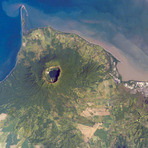
Cosigüina mountain guide
- Elevation: 872 m
- Difficulty:
- Best months to climb:
- Convenient center:
Cosigüina Climbing Notes
Luis Rafael Gasteazoro from NICARAGUA writes:
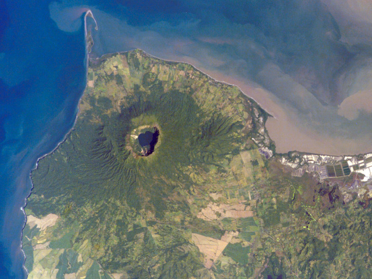
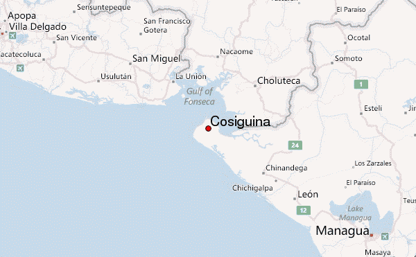
The Volcan Cosiguina is a privileged location in that from its summit you are able to appreciate The Gulf of Fonseca, the mountains of El Salvador, Honduras, and of course Nicaragua, its called the "Mirador de los Tres Paises": the three-country view.
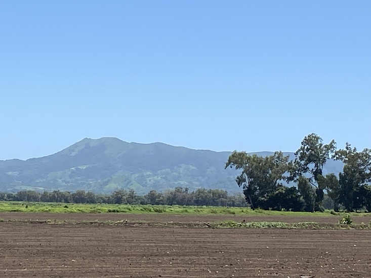
The climb is about a three to six hour climb, depending on how far you want to take the vehicle.
Suggestions: Take plenty of water and a hat... the sun and temperature are about 30-38 C depending on time of day. I suggest starting the hike 6am (at the latest). You should be back in camp at around lunch time. It's a year round climb.
That being said, we own an ecolodge on the outskirts of the Volcan Cosiguina and specialize on this trip if interested you can contact us at Hacienda Cosiguina (you can Google us).
2011-08-27 |
Click here to submit your own climbing note for Cosigüina
|
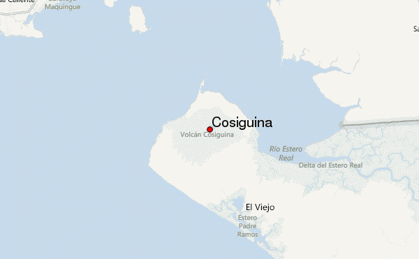
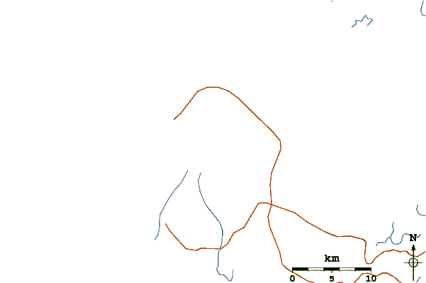
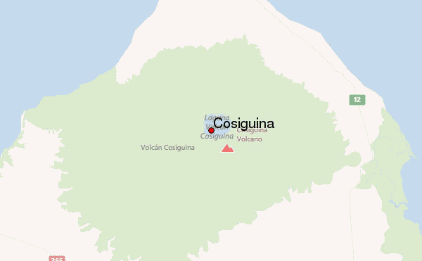
Select Cosigüina Location Map Detail:
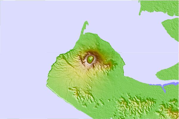
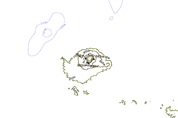
Use this relief map to navigate to mountain peaks in the area of Cosigüina.
10 other mountain peaks closest to Cosigüina:
 Cosigüina – Climbing, Hiking & Mountaineering information
 Like us
 Follow us
