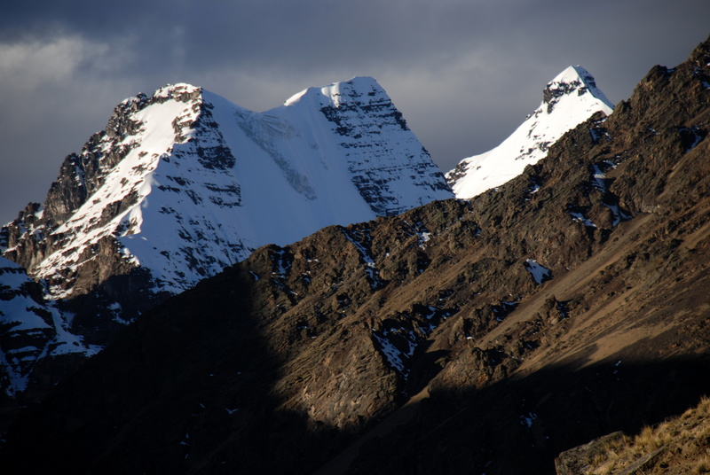
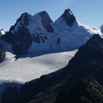
Condoriri mountain guide
- Elevation: 5648 m
- Difficulty: Technical Climb
- Best months to climb: June, July, August, September
- Convenient center: La Paz
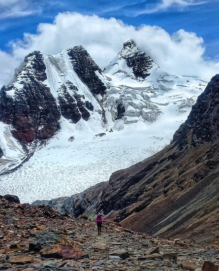
Condoriri Climbing Notes
Alexander von Ungern from BOLIVIA writes:
Nowadays the Condoriri area is usually accessed through "la rinconada", where most muleteers are, instead of "Tuni", as described in the older guide books.
There are also simple mountain huts/refuges on both sides of Chiar Khota lagoon, even though camping is personally still my preferred option.
Andean Ascents can help organize transport to/from the trail head and inform muleteers of your arrival.
Have great climbs !
2018-07-19 |
Click here to submit your own climbing note for Condoriri
|
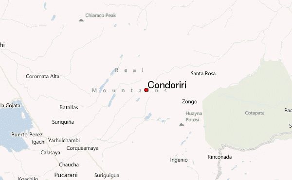
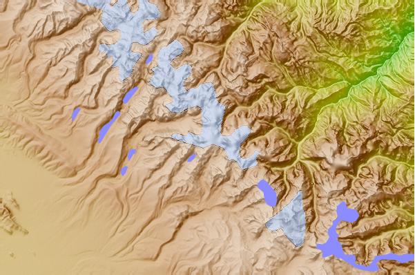
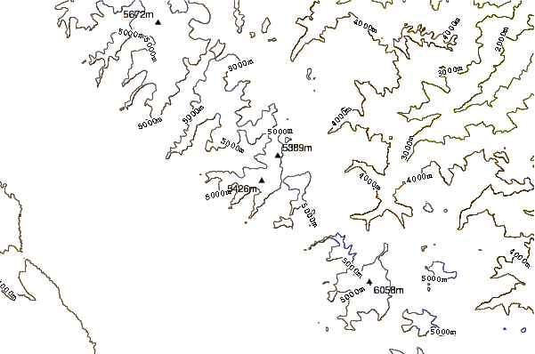
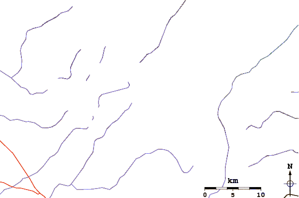
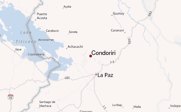
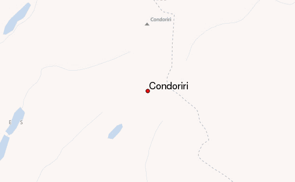
Select Condoriri Location Map Detail:
Use this relief map to navigate to mountain peaks in the area of Condoriri.
10 other mountain peaks closest to Condoriri:
 Condoriri – Climbing, Hiking & Mountaineering information
 Like us
 Follow us
