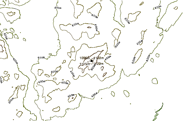
A fairly easy trail, with only a few short steeper sections if you follow the main trail. This is wide enough for an ATV or snowmobile, which is how the radio repeaters at midway up and at the summit are accessed. For me the hardest part is the loose rocks, it’s easy to turn an ankle if you’re not careful. In the springtime it’s very wet from snowmelt runoff, and parts of the trail that don’t get much sun will keep snow very late. 2 years ago I hiked up and camped on Memorial Day weekend and starting before the first radio repeater there was 2 feet of snow on over half the trail all the way to the summit. Snowshoes would have been nice! There’s a level area after the first repeater that can be very muddy, or even submerged in the spring.
You can knock off about 1/2 mile if you take the shortcut, though it’s very steep because it basically goes straight up the mountainside. When you get to the first radio repeater, there’s a very narrow trail marked by a cairn on the right about 50 feet past the gate. It’s fun to go up, but due to it being damp all the time and slippery I’d think twice about descending it.
At the summit there’s a solar panel array and a locked equipment shed for the repeater. There’s also a steel viewing platform, and on a clear day you can see forever. I like camping here, though as rocky as the summit is it can be hard to find a somewhat level spot with enough room for my 1P tent to point an end into the wind. A narrow spot between the shed and solar panels will block wind from most directions, but is out of level enough to make sleeping difficult.
On a clear, moonless night the summit is a stargazer’s dream. There’s no light pollution to speak of, and the Big Dipper & Cassiopeia are so bright I can see them even without my glasses. The Milky Way looks like a brushstroke across the sky.
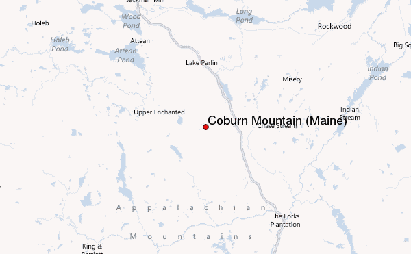
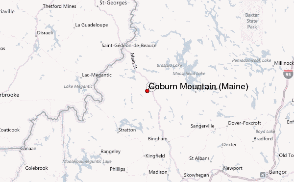
 Coburn Mountain (Maine) – Climbing, Hiking & Mountaineering information
 Like us
 Follow us
