– Lat/Long: 13.87° N 89.55° W
 Coatepeque Caldera – Climbing, Hiking & Mountaineering information
Coatepeque Caldera – Climbing, Hiking & Mountaineering information
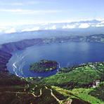
Coatepeque Caldera mountain guide
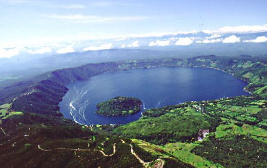
- Elevation: 746 m
- Difficulty:
- Best months to climb:
- Convenient center:
Coatepeque Caldera Climbing Notes
Click here to submit your own climbing note for Coatepeque Caldera |
| Select a
mountain summit from the menu |
||
|
Select a Mountain Summit
|
||
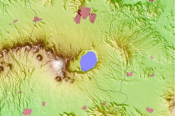
Use this relief map to navigate to mountain peaks in the area of Coatepeque Caldera.
10 other mountain peaks closest to Coatepeque Caldera:
| 1. | Santa Ana Volcano (2381 m) | 8.8 km |
| 2. | Izalco (volcano) (1950 m) | 11.0 km |
| 3. | Izalco (1950 m) | 11.0 km |
| 4. | Laguna Verde (1829 m) | 25.6 km |
| 5. | San Salvador (1893 m) | 32.2 km |
| 6. | Chingo (1775 m) | 33.9 km |
| 7. | Guazapa (1438 m) | 46.6 km |
| 8. | Guazapa (volcano) (1438 m) | 46.6 km |
| 9. | Cerro Santiago (1192 m) | 51.3 km |
| 10. | Lake Ilopango (450 m) | 58.5 km |
 Like us
 Follow us
