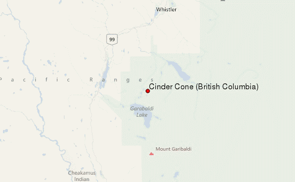
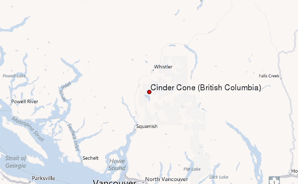
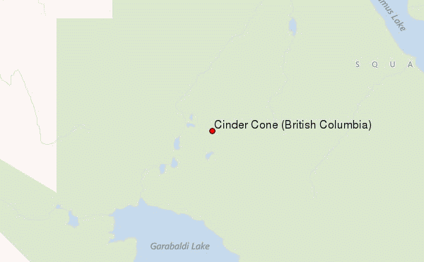
– Lat/Long: 49.97° N 123.01° W
 Cinder Cone (British Columbia) – Climbing, Hiking & Mountaineering information
Cinder Cone (British Columbia) – Climbing, Hiking & Mountaineering information
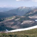
Cinder Cone (British Columbia) mountain guide
- Elevation: 1910 m
- Difficulty:
- Best months to climb:
- Convenient center:
Cinder Cone (British Columbia) Climbing NotesBe the first to submit your climbing note! Please submit any useful information about climbing Cinder Cone (British Columbia) that may be useful to other climbers. Consider things such as access and accommodation at the base of Cinder Cone (British Columbia), as well as the logistics of climbing to the summit. |
| Select a
mountain summit from the menu |
||
|
Select a Mountain Summit
|
||
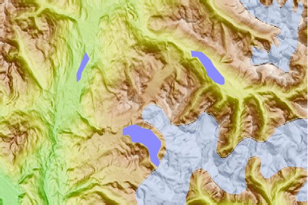
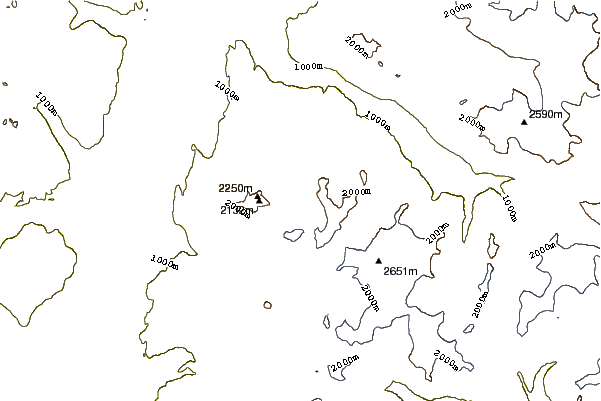
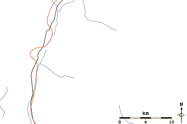
Use this relief map to navigate to mountain peaks in the area of Cinder Cone (British Columbia).
10 other mountain peaks closest to Cinder Cone (British Columbia):
| 1. | Black Tusk (2319 m) | 2.6 km |
| 2. | Clinker Peak (1992 m) | 5.2 km |
| 3. | Castle Towers Mountain (2676 m) | 5.8 km |
| 4. | Garibaldi Lake Volcanic Field (2316 m) | 6.0 km |
| 5. | Mount Price (British Columbia) (2052 m) | 6.0 km |
| 6. | The Table (2021 m) | 8.6 km |
| 7. | The Sphinx (2402 m) | 8.8 km |
| 8. | Flute Summit (Fitzsimmons Range) (2015 m) | 9.5 km |
| 9. | Piccolo Summit (Fitzsimmons Range) (2043 m) | 9.6 km |
| 10. | Whistler Mountain (Fitzsimmons Range) (2181 m) | 10.3 km |
 Like us
 Follow us
