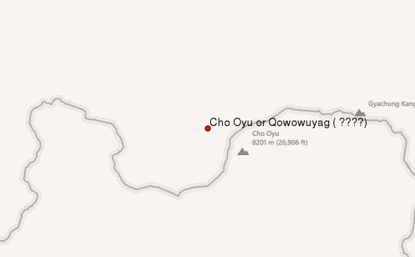
– Lat/Long: 28.10° N 86.65° E
 Cho Oyu or Qowowuyag ( 卓奧有山) – Climbing, Hiking & Mountaineering information
Cho Oyu or Qowowuyag ( 卓奧有山) – Climbing, Hiking & Mountaineering information
Cho Oyu or Qowowuyag ( 卓奧有山) mountain guide
- Elevation: 8201 m
- Difficulty: Major Mountain Expedition
- Best months to climb:
- Convenient center: Namche Bazar, Nepal
Cho Oyu or Qowowuyag ( 卓奧有山) Climbing NotesBe the first to submit your climbing note! Please submit any useful information about climbing Cho Oyu or Qowowuyag ( 卓奧有山) that may be useful to other climbers. Consider things such as access and accommodation at the base of Cho Oyu or Qowowuyag ( 卓奧有山), as well as the logistics of climbing to the summit. |
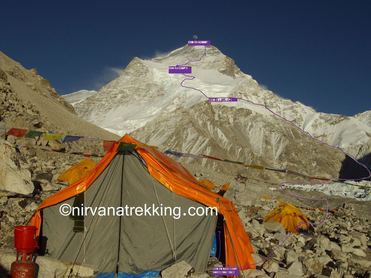
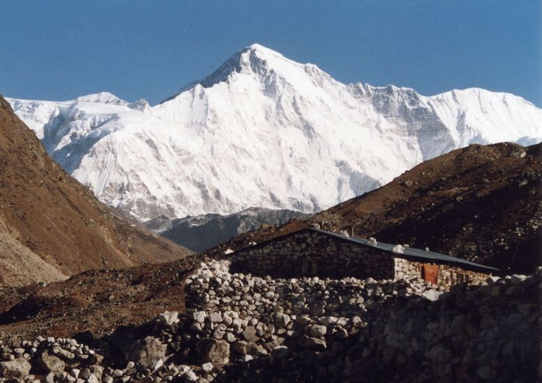
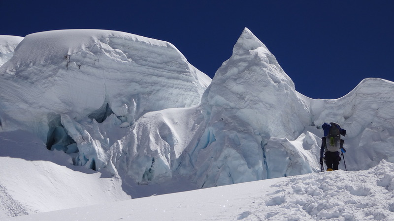
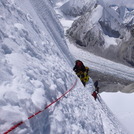
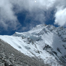
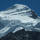
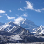
Latest Gallery Images for Cho Oyu or Qowowuyag ( 卓奧有山)

| Select a
mountain summit from the menu |
||
|
Select a Mountain Summit
|
||
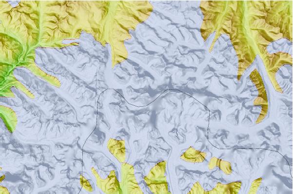
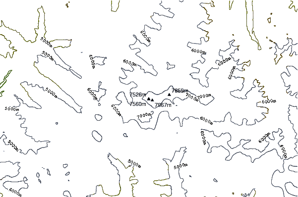
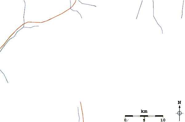
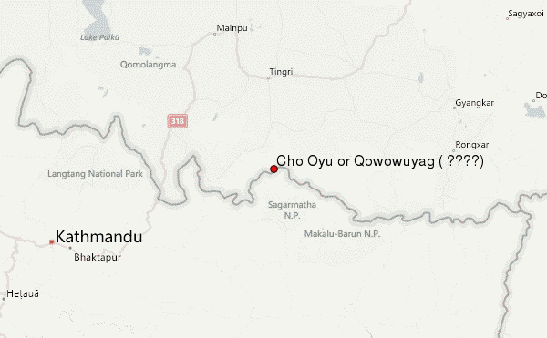
Use this relief map to navigate to mountain peaks in the area of Cho Oyu or Qowowuyag ( 卓奧有山).
10 other mountain peaks closest to Cho Oyu or Qowowuyag ( 卓奧有山):
| 1. | Palung Ri (7013 m) | 2.5 km |
| 2. | Ngoyumba Kang (7916 m) | 3.3 km |
| 3. | Cho Aui or Nangpai Gosum I (7351 m) | 4.9 km |
| 4. | Gyachung Kang (7952 m) | 9.8 km |
| 5. | Gokyo Ri (5340 m) | 15.7 km |
| 6. | Nirekha (6069 m) | 18.5 km |
| 7. | Pumori (7161 m) | 19.9 km |
| 8. | Pharilapcha (6017 m) | 20.5 km |
| 9. | Lobuche East (6119 m) | 20.8 km |
| 10. | Kala Pattar (5545 m) | 20.9 km |
 Like us
 Follow us
