Chimney Tops mountain guide
- Elevation: 1463 m
- Difficulty:
- Best months to climb:
- Convenient center:
Chimney Tops Climbing Notes
Chris Coop from UNITED STATES writes:
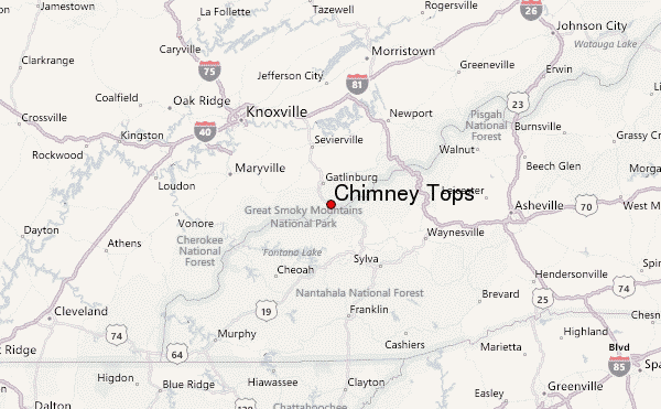
Trail is currently being rebuilt. Beginning of trail has a great area to play in the river. Lots of big boulders and beaches. Hike is steady climb with steep hand to hand scrambling at the end. Trail will ice up in Winter. Gatlinburg, TN closest town.
2012-12-30 |
Click here to submit your own climbing note for Chimney Tops
|

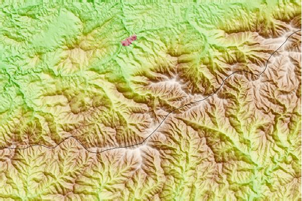
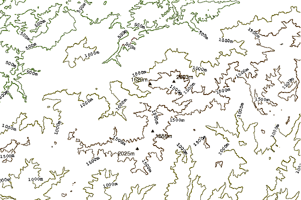
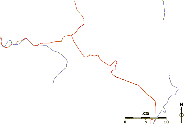
Select Chimney Tops Location Map Detail:
Use this relief map to navigate to mountain peaks in the area of Chimney Tops.
10 other mountain peaks closest to Chimney Tops:
 Chimney Tops – Climbing, Hiking & Mountaineering information


 Like us
 Follow us
