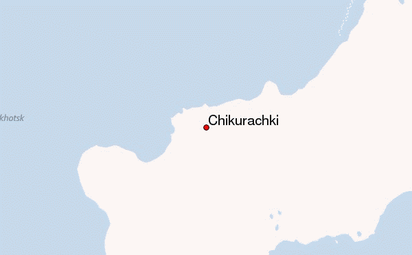
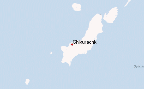
– Lat/Long: 50.32° N 155.46° E
 Chikurachki – Climbing, Hiking & Mountaineering information
Chikurachki – Climbing, Hiking & Mountaineering information
Chikurachki mountain guide
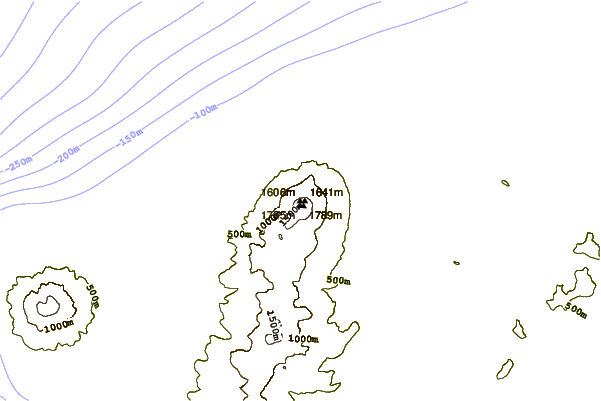
- Elevation: 1816 m
- Difficulty:
- Best months to climb:
- Convenient center:
Chikurachki Climbing NotesBe the first to submit your climbing note! Please submit any useful information about climbing Chikurachki that may be useful to other climbers. Consider things such as access and accommodation at the base of Chikurachki, as well as the logistics of climbing to the summit. |
| Select a
mountain summit from the menu |
||
|
Select a Mountain Summit
|
||
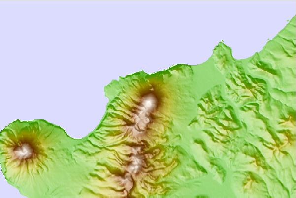
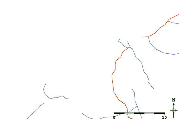
Use this relief map to navigate to mountain peaks in the area of Chikurachki.
10 other mountain peaks closest to Chikurachki:
| 1. | Lomonosov Group (1681 m) | 8.6 km |
| 2. | Fuss Peak (1772 m) | 16.0 km |
| 3. | Karpinsky Group (1345 m) | 22.6 km |
| 4. | Vernadskii Ridge (1183 m) | 44.1 km |
| 5. | Ebeko (1156 m) | 56.1 km |
| 6. | Alaid (2339 m) | 59.7 km |
| 7. | Atlasov Island (2339 m) | 59.7 km |
| 8. | Makanrushi (1169 m) | 95.3 km |
| 9. | Nemo Peak (1018 m) | 96.1 km |
| 10. | Tao-rusyr Caldera (1325 m) | 121.4 km |
 Like us
 Follow us
