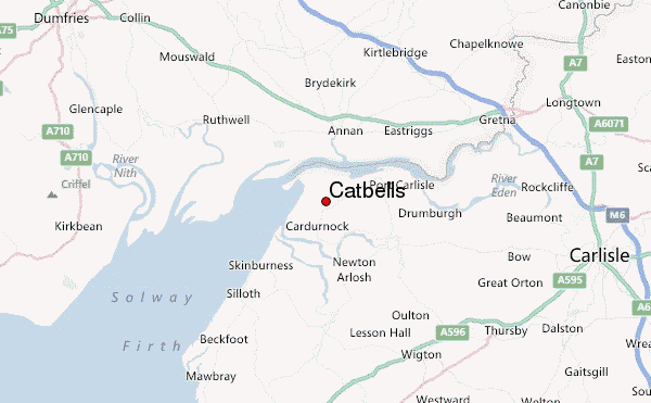
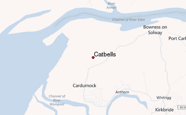
– Lat/Long: 54.94° N 3.28° W
 Catbells – Climbing, Hiking & Mountaineering information
Catbells – Climbing, Hiking & Mountaineering information
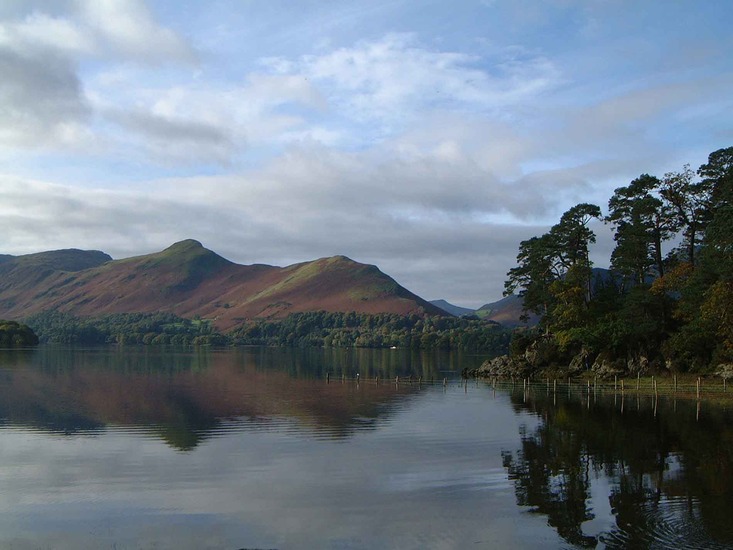
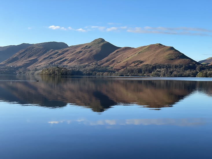
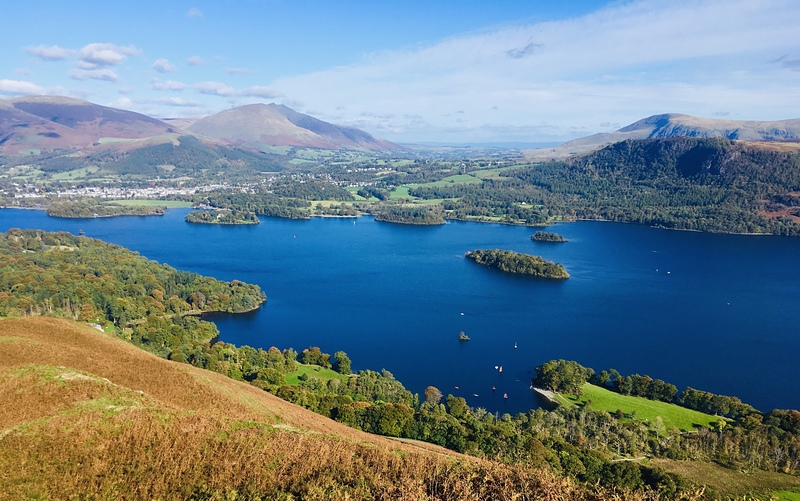
Catbells mountain guide

- Elevation: 451 m
- Difficulty: Walk up
- Best months to climb: January, April, May, June, July, August, December
- Convenient center: Keswick
Catbells Climbing NotesBe the first to submit your climbing note! Please submit any useful information about climbing Catbells that may be useful to other climbers. Consider things such as access and accommodation at the base of Catbells, as well as the logistics of climbing to the summit. |

| Select a
mountain summit from the menu |
||
|
Select a Mountain Summit
|
||
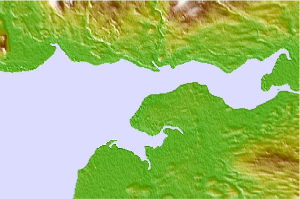
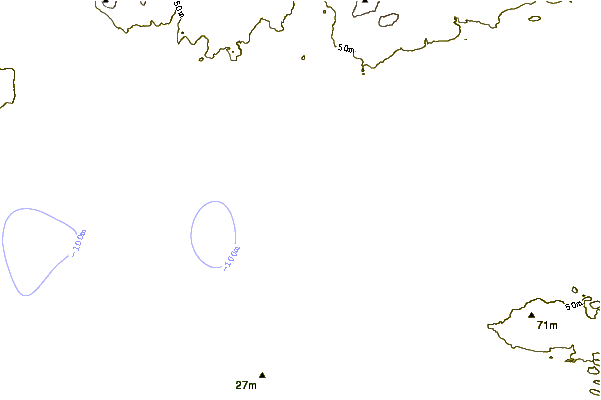
Use this relief map to navigate to mountain peaks in the area of Catbells.
10 other mountain peaks closest to Catbells:
| 1. | Criffel (570 m) | 22.2 km |
| 2. | Caer Mote (285 m) | 23.3 km |
| 3. | Faulds Brow (344 m) | 23.4 km |
| 4. | Binsey (447 m) | 25.7 km |
| 5. | Longlands Fell (483 m) | 27.3 km |
| 6. | Brae Fell (586 m) | 28.0 km |
| 7. | Meal Fell (550 m) | 29.1 km |
| 8. | Watch Hill (Cockermouth) (254 m) | 29.1 km |
| 9. | Great Cockup (526 m) | 29.2 km |
| 10. | Great Sca Fell (651 m) | 29.3 km |

 Like us
 Follow us
