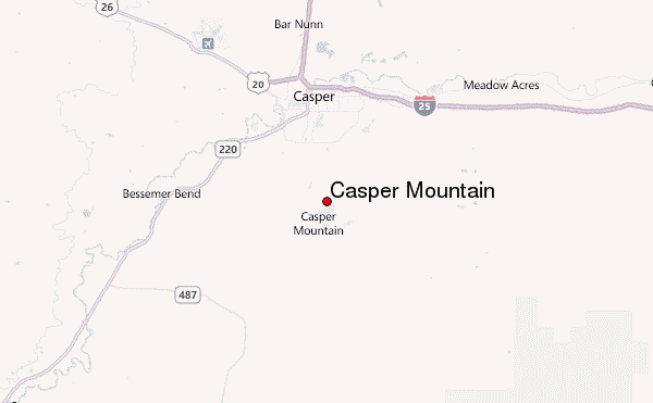
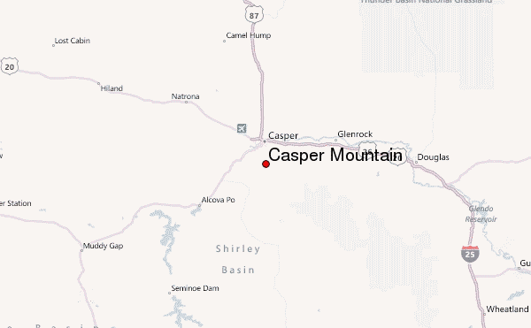
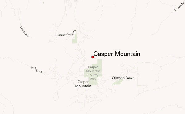
– Lat/Long: 42.75° N 106.31° W
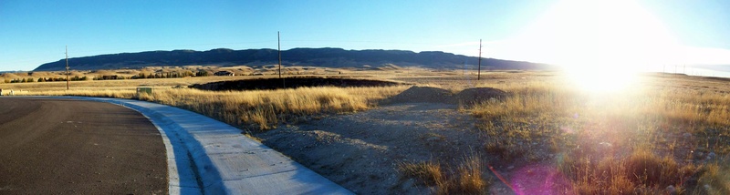
 Casper Mountain – Climbing, Hiking & Mountaineering information
Casper Mountain – Climbing, Hiking & Mountaineering information
Casper Mountain mountain guide
- Elevation: 2478 m
- Difficulty:
- Best months to climb:
- Convenient center:
Casper Mountain Climbing NotesBe the first to submit your climbing note! Please submit any useful information about climbing Casper Mountain that may be useful to other climbers. Consider things such as access and accommodation at the base of Casper Mountain, as well as the logistics of climbing to the summit. |
| Select a
mountain summit from the menu |
||
|
Select a Mountain Summit
|
||
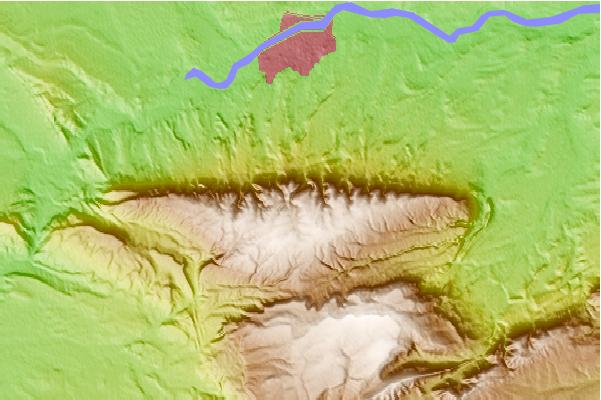
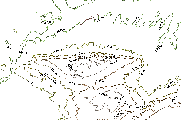
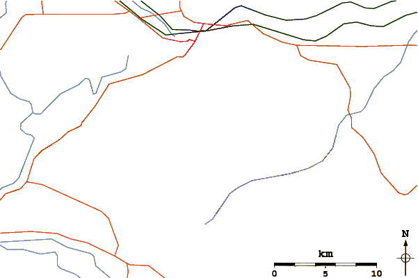
Use this relief map to navigate to mountain peaks in the area of Casper Mountain.
10 other mountain peaks closest to Casper Mountain:
| 1. | Garfield Peak (Wyoming) (2513 m) | 77.7 km |
| 2. | Laramie Peak (3131 m) | 89.0 km |
| 3. | Elk Mountain (Carbon County, Wyoming) (3402 m) | 125.8 km |
| 4. | Medicine Bow Peak (3662 m) | 154.9 km |
| 5. | Bomber Mountain (3914 m) | 192.4 km |
| 6. | Cloud Peak (4013 m) | 194.2 km |
| 7. | Black Tooth Mountain (3964 m) | 196.5 km |
| 8. | Mount Zirkel (3713 m) | 215.8 km |
| 9. | Nipple Peak (3147 m) | 217.7 km |
| 10. | South Bald Mountain (3355 m) | 228.3 km |
 Like us
 Follow us
