Caliente Mountain mountain guide
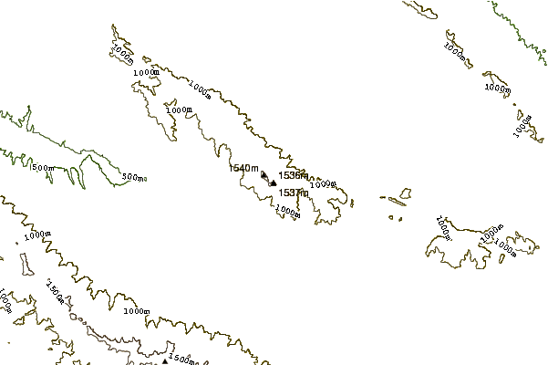
- Elevation: 1556 m
- Difficulty:
- Best months to climb:
- Convenient center:
Caliente Mountain Climbing Notes
Andy Michael from UNITED STATES writes:
It's a enjoyable hike. Do me a favor and take all your trash out. The recent wildflowers have given this beautiful popularity but people want to litter on this beautiful place. I pick up trash when I see it but need your help. Bears and mountain lions rattlesnake are around so watch your kids.
2020-12-16 |
Click here to submit your own climbing note for Caliente Mountain
|
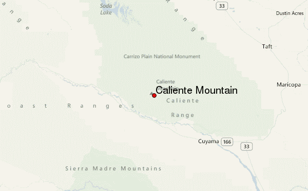
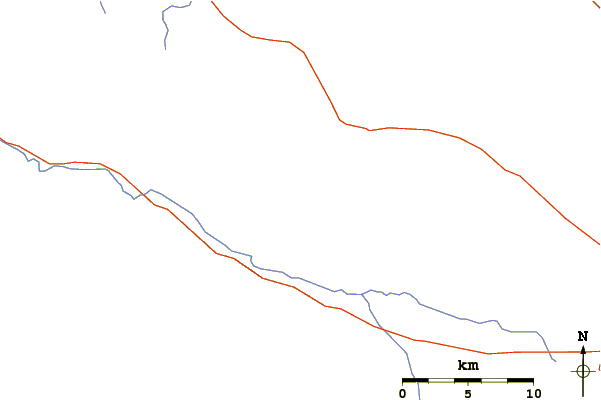
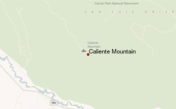
Select Caliente Mountain Location Map Detail:
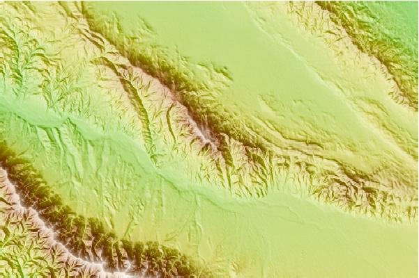
Use this relief map to navigate to mountain peaks in the area of Caliente Mountain.
10 other mountain peaks closest to Caliente Mountain:
 Caliente Mountain – Climbing, Hiking & Mountaineering information
 Like us
 Follow us
