Boundary Bald Mountain mountain guide
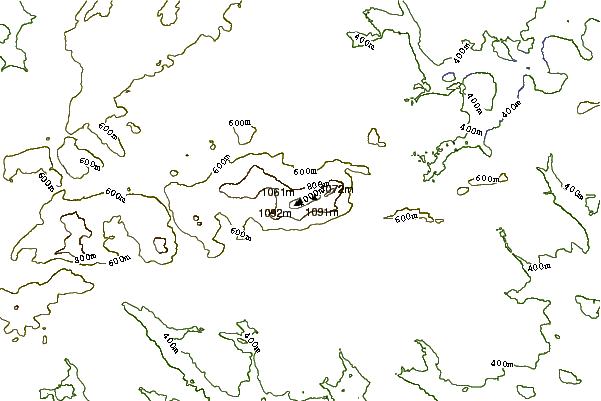
- Elevation: 1109 m
- Difficulty:
- Best months to climb:
- Convenient center:
Boundary Bald Mountain Climbing Notes
Phil Smith from UNITED STATES writes:
Once you get to the actual trailhead by either hiking or driving up Notch Rd (narrow 4x4s with good ground clearance only), be prepared for a rocky, root-y, muddy, steep ascent! As you approach the summit there’s more ledge and the vegetation becomes the stunted trees and ground cover of the alpine zone. There’s quite a bit of White Mountain Saxifrage scattered around.
The view from the summit is AMAZING, even on a hazy day. I can’t wait to go up there this winter. I wouldn’t take the hiking trail in winter, though; the snow gets deep enough that you could easily be walking on a cornice without knowing it. A better route is bushwhacking up the westernmost spur starting at the base of Notch Rd. The going is smooth for the most part. You will want snowshoes, preferably on the large size for your weight because the snow can be soft and very deep - as in 6-10’ or deeper on the lee (south) side. Total distance from the bottom of Notch Rd to the summit is about 2 miles, depending on how direct a route you take.
2019-08-06 |
Click here to read 1 more climbing note for Boundary Bald Mountain or submit your own
|
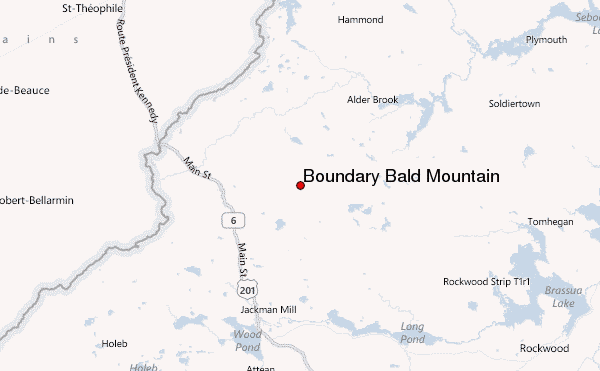
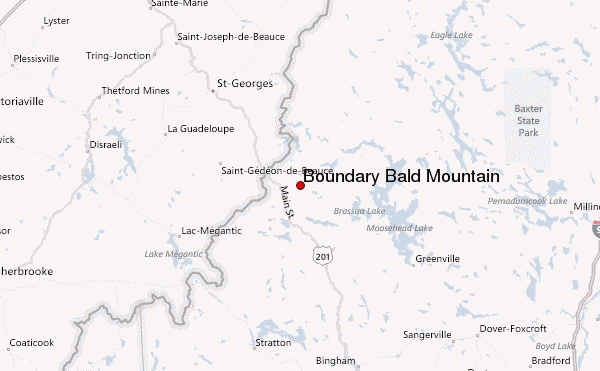
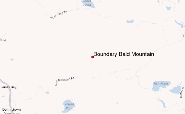
Select Boundary Bald Mountain Location Map Detail:
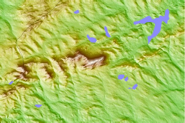
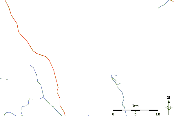
Use this relief map to navigate to mountain peaks in the area of Boundary Bald Mountain.
10 other mountain peaks closest to Boundary Bald Mountain:
 Boundary Bald Mountain – Climbing, Hiking & Mountaineering information
 Like us
 Follow us
