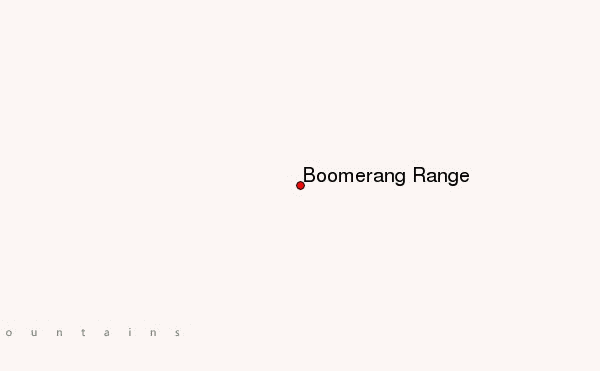
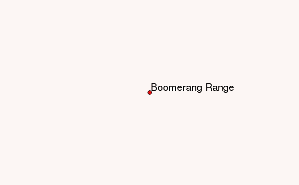
– Lat/Long: 78.45° S 158.75° E
 Boomerang Range – Climbing, Hiking & Mountaineering information
Boomerang Range – Climbing, Hiking & Mountaineering information
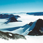
Boomerang Range mountain guide
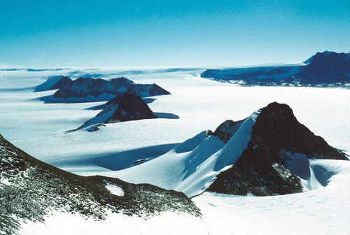
- Elevation: 1600 m
- Difficulty:
- Best months to climb:
- Convenient center:
Boomerang Range Climbing NotesBe the first to submit your climbing note! Please submit any useful information about climbing Boomerang Range that may be useful to other climbers. Consider things such as access and accommodation at the base of Boomerang Range, as well as the logistics of climbing to the summit. |
| Select a
mountain summit from the menu |
||
|
Select a Mountain Summit
|
||
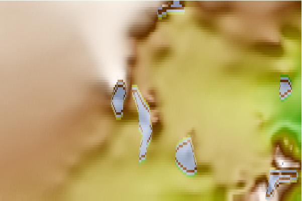
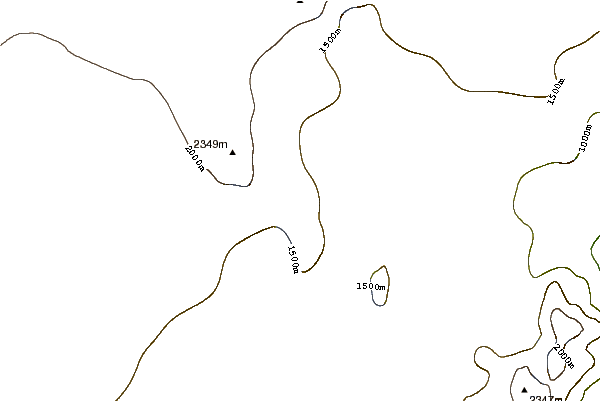
Use this relief map to navigate to mountain peaks in the area of Boomerang Range.
10 other mountain peaks closest to Boomerang Range:
| 1. | Portal Mountain (2555 m) | 40.1 km |
| 2. | Bishop Peak (Antarctica) (3460 m) | 82.9 km |
| 3. | Mount Lister (4025 m) | 98.7 km |
| 4. | Royal Society Range (3000 m) | 111.2 km |
| 5. | Mount Discovery (2681 m) | 140.4 km |
| 6. | Mount Morning (2725 m) | 140.4 km |
| 7. | Mount Harker (914 m) | 149.8 km |
| 8. | Mount Ellis (2330 m) | 166.2 km |
| 9. | Mount Rhone (2020 m) | 170.6 km |
| 10. | Mount McClintock (3490 m) | 198.5 km |
 Like us
 Follow us
