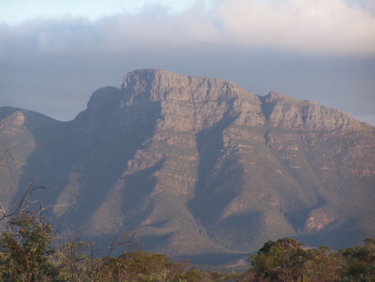
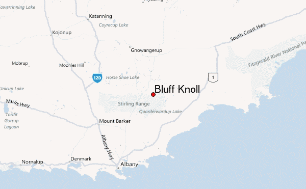
Bluff Knoll mountain guide
- Elevation: 1095 m
- Difficulty: Walk up
- Best months to climb: January, February, March, December
- Convenient center: Porongorup
Bluff Knoll Climbing Notes
KERRI KOALA from AUSTRALIA writes:
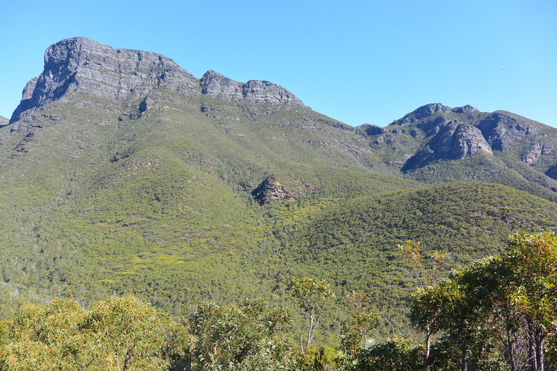
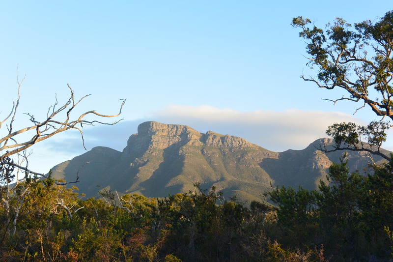
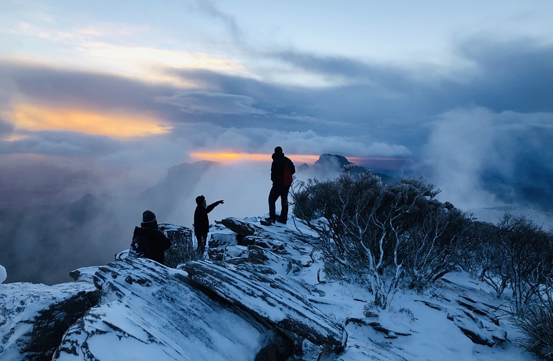
Having climbed Bluff almost 20 times, I have to agree - the cooler months (April - Oct) are way easier, especially given that the shade canopy was destroyed by fire a couple of years ago.
Once you hit approx 2/3rds up and you hit a sharp left . . the weather may change drastically. Please take note of this - this mountain has almost claimed my life twice in severe weather, she takes no prisoners on the final stretch when the weather is bad.
If you are in any way unsure or not a confident climber prepared to stay the night at the top . . be very mindful of changing conditions from 900m and up.
I can concur though . . . beware of Drop Bears.
2024-03-16 |
Click here to read 2 more climbing notes for Bluff Knoll or submit your own
|
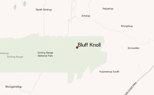
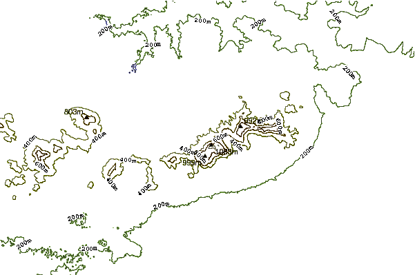
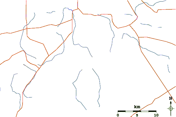
Select Bluff Knoll Location Map Detail:
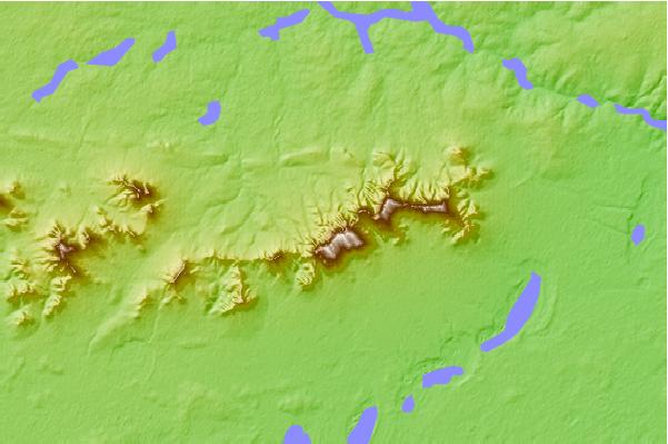
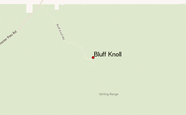
Use this relief map to navigate to mountain peaks in the area of Bluff Knoll.
10 other mountain peaks closest to Bluff Knoll:
 Bluff Knoll – Climbing, Hiking & Mountaineering information


 Like us
 Follow us
