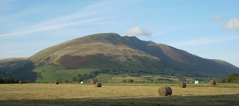
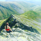
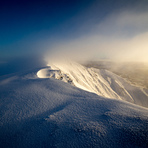
Blencathra mountain guide
- Elevation: 868 m
- Difficulty: Walk up
- Best months to climb: January, February, April, May, June, July, August, September, October, November, December
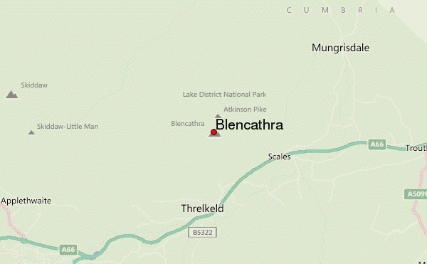
- Convenient center: Keswick
Blencathra Climbing Notes
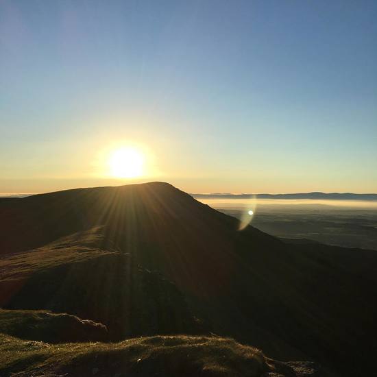
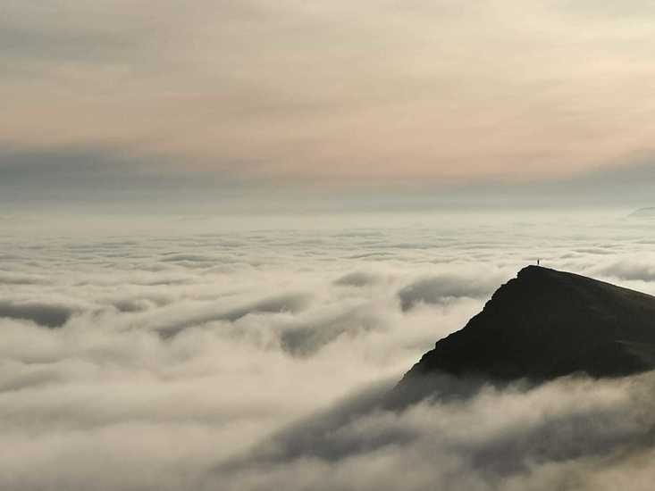
Chris D from UNITED KINGDOM writes:
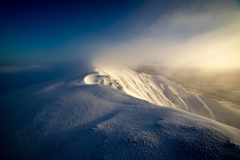
08.00 Above 700m Winter conditions apply. Early morning winds gusting to 60km/h and severe wind chill. Rime ice and frozen water around Sharp Edge. In shade ground still frozen.
2017-02-14 |
Click here to submit your own climbing note for Blencathra
|
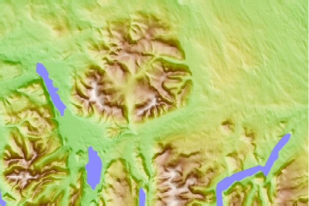
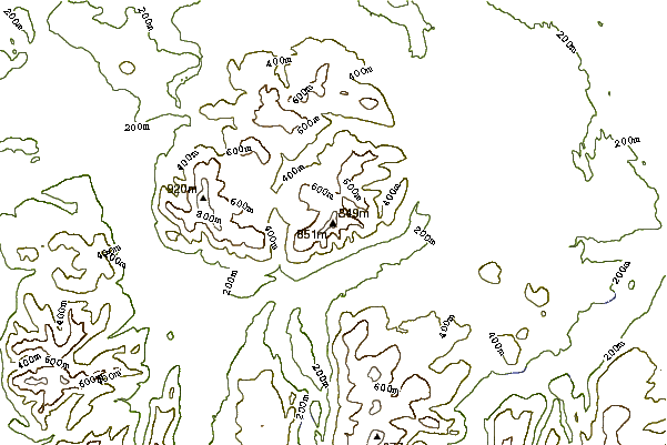
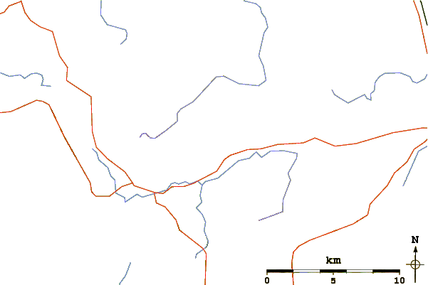
Select Blencathra Location Map Detail:
Use this relief map to navigate to mountain peaks in the area of Blencathra.
10 other mountain peaks closest to Blencathra:
 Blencathra – Climbing, Hiking & Mountaineering information
 Like us
 Follow us
