Black Dome Mountain mountain guide
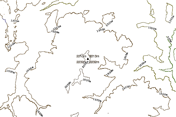
- Elevation: 2252 m
- Difficulty:
- Best months to climb:
- Convenient center:
Black Dome Mountain Climbing Notes
john from CANADA writes:
Nice long views all directions. Gravel 2wd track to top. Spectacular place to walk around.
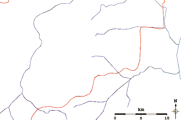
Peak and surrounding area leased to mining company (it used to be Black Dome Exploration, I think) and as of 8 years ago the access road from Gang Ranch Bridge was gated and locked. The access from Frese Cabins has also been destroyed. There's said to be a track in from Red Mountain via Yodel Creek, it may not be there anymore.
Plenty of unregulated roadside camping down near Frese Cabins (which are probably fallen down now).
Thundereggs were still present 8 years ago near Frese Cabins. Road in was smooth 8 yrs ago. Autumn there can be spectacular. (Fall colours).
20 July 2017
2017-07-20 |
Click here to submit your own climbing note for Black Dome Mountain
|
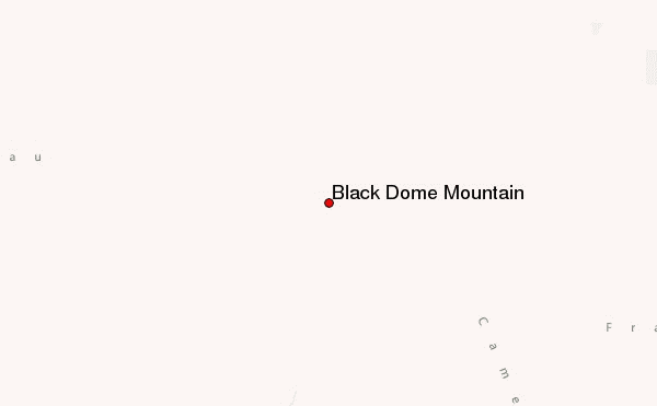
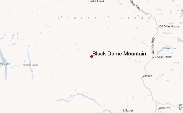
Select Black Dome Mountain Location Map Detail:
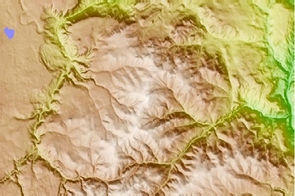
Use this relief map to navigate to mountain peaks in the area of Black Dome Mountain.
10 other mountain peaks closest to Black Dome Mountain:
 Black Dome Mountain – Climbing, Hiking & Mountaineering information
 Like us
 Follow us
