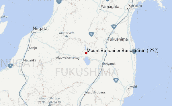
– Lat/Long: 37.60° N 140.07° E
 Mount Bandai or Bandai San ( 磐梯山) – Climbing, Hiking & Mountaineering information
Mount Bandai or Bandai San ( 磐梯山) – Climbing, Hiking & Mountaineering information
Mount Bandai or Bandai San ( 磐梯山) mountain guide
- Elevation: 1819 m
- Difficulty:
- Best months to climb:
- Convenient center: Hapōdai Tozankō (八方台登山口)
Mount Bandai or Bandai San ( 磐梯山) Climbing NotesBe the first to submit your climbing note! Please submit any useful information about climbing Mount Bandai or Bandai San ( 磐梯山) that may be useful to other climbers. Consider things such as access and accommodation at the base of Mount Bandai or Bandai San ( 磐梯山), as well as the logistics of climbing to the summit. |

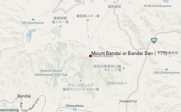
Select Mount Bandai or Bandai San ( 磐梯山) Location Map Detail:
| Select a
mountain summit from the menu |
||
|
Select a Mountain Summit
|
||
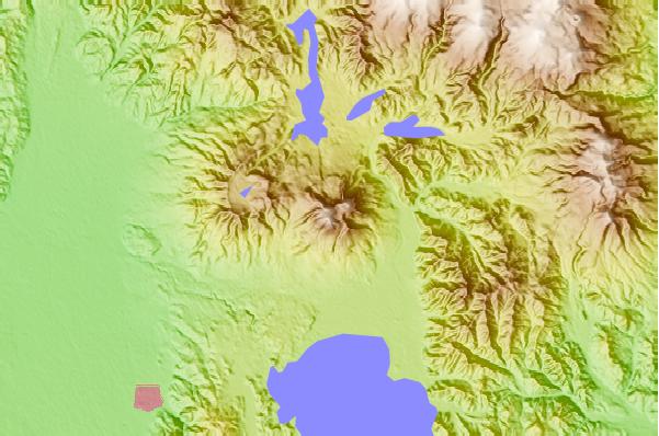
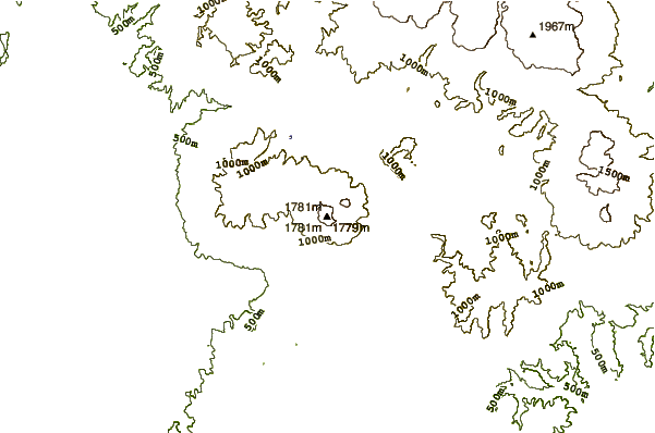
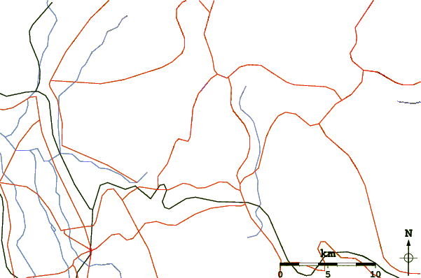
Use this relief map to navigate to mountain peaks in the area of Mount Bandai or Bandai San ( 磐梯山).
10 other mountain peaks closest to Mount Bandai or Bandai San ( 磐梯山):
| 1. | Mount Nekomadake (1404 m) | 4.1 km |
| 2. | Adatara (1718 m) | 18.5 km |
| 3. | Azuma (2024 m) | 21.3 km |
| 4. | Mount Azuma (1705 m) | 21.3 km |
| 5. | Mount Iide (2105 m) | 42.8 km |
| 6. | Numazawa (1100 m) | 47.4 km |
| 7. | Nasu (1917 m) | 54.3 km |
| 8. | Zao (volcano) (1841 m) | 69.6 km |
| 9. | Takahara (1795 m) | 82.2 km |
| 10. | Hiuchi (2346 m) | 100.8 km |
 Like us
 Follow us
