Badger Mountain (Colorado) mountain guide
- Elevation: 3442 m
- Difficulty:
- Best months to climb:
- Convenient center:
Badger Mountain (Colorado) Climbing Notes
Victor Gollahon from UNITED STATES writes:
Great view of South Park and lakes on the way up and on summit. Good view of Pike's Peak along the way.
For an easy hike take highway 24 west of Wilkerson pass and turn right on first dirt road. Follow LaSalle pass road. Not clearly marked so you need to follow the hi voltage power line up the hill. At top of pass forest road on right will take you half way up to summit. Park across from locked gate and hike the road to the top. Easy 3 mile walk if you are used to the altitude. Great when the aspen trees are turning bright yellow end of September.
WARNING, DO NOT CLIMB TOWERS AT TOP.. They are high voltage and microwave that can literally cook you by just getting in front of them.
You can hike up from other county roads but ther are no trails. Best to hike mornings in summer due to frequent mid afternoon showers with lots of lightning. The towers attract lightning as evidenced by multiple tree strikes all around the summit.
2014-09-21 |
Click here to submit your own climbing note for Badger Mountain (Colorado)
|
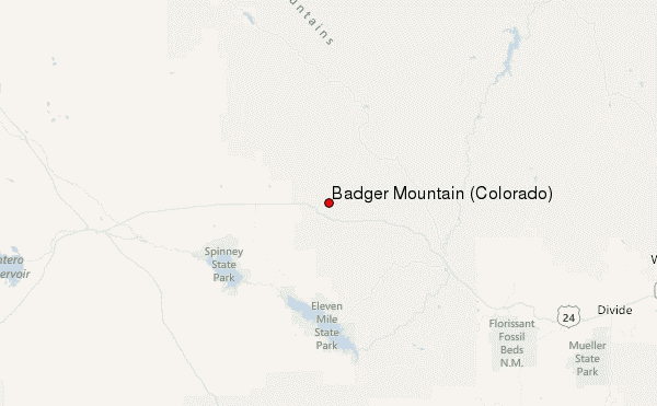
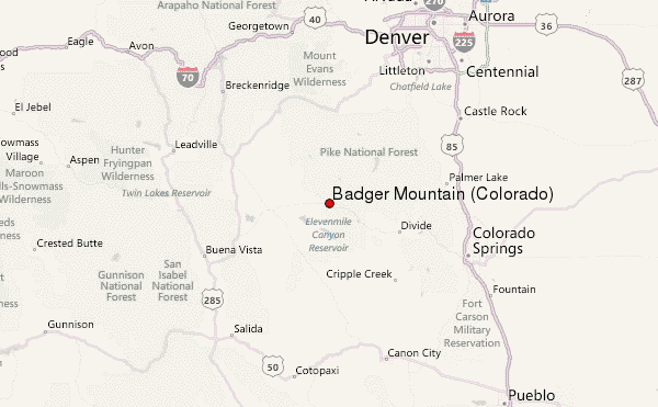
Select Badger Mountain (Colorado) Location Map Detail:
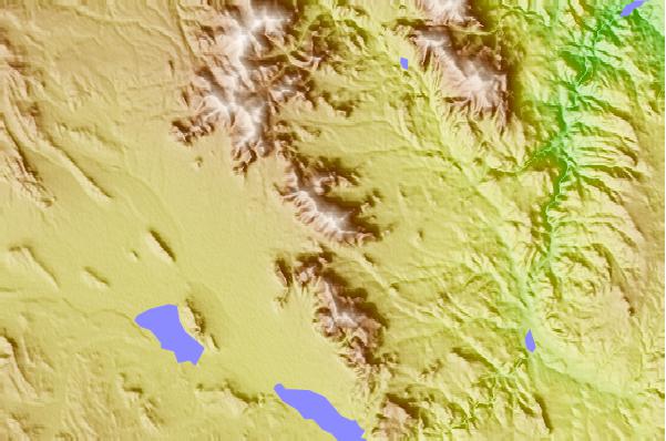
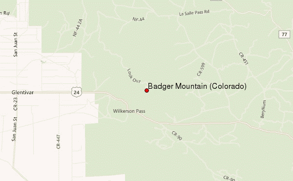
Use this relief map to navigate to mountain peaks in the area of Badger Mountain (Colorado).
10 other mountain peaks closest to Badger Mountain (Colorado):
 Badger Mountain (Colorado) – Climbing, Hiking & Mountaineering information

 Like us
 Follow us
