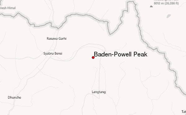
– Lat/Long: 28.17° N 85.53° E
 Baden-Powell Peak – Climbing, Hiking & Mountaineering information
Baden-Powell Peak – Climbing, Hiking & Mountaineering information
Baden-Powell Peak mountain guide
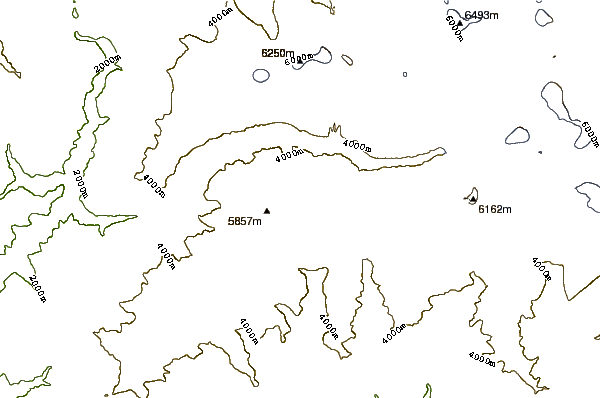
- Elevation: 5718 m
- Difficulty: Basic Snow and Ice Climb
- Best months to climb: April, September
- Convenient center: Katmandu (Tamel area)
Baden-Powell Peak Climbing NotesBe the first to submit your climbing note! Please submit any useful information about climbing Baden-Powell Peak that may be useful to other climbers. Consider things such as access and accommodation at the base of Baden-Powell Peak, as well as the logistics of climbing to the summit. |
| Select a
mountain summit from the menu |
||
|
Select a Mountain Summit
|
||
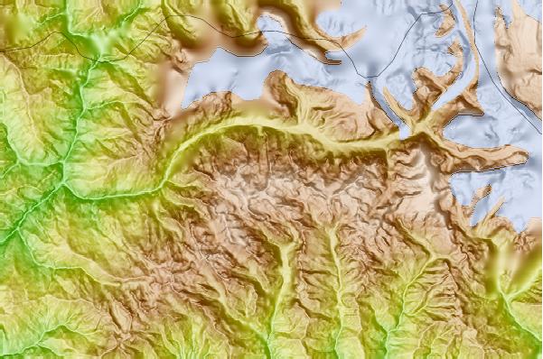
Use this relief map to navigate to mountain peaks in the area of Baden-Powell Peak.
10 other mountain peaks closest to Baden-Powell Peak:
| 1. | Naya Kanga (5846 m) | 1.4 km |
| 2. | Langtang Lirung (7227 m) | 10.0 km |
| 3. | Yala Peak (5520 m) | 12.4 km |
| 4. | Langtang-ri (7205 m) | 13.9 km |
| 5. | Dragmarpo Ri (6578 m) | 19.5 km |
| 6. | Dorje Lakpa (6966 m) | 24.2 km |
| 7. | Loengpogang (7083 m) | 26.5 km |
| 8. | Shisha Pangma (8013 m) | 31.9 km |
| 9. | Molamenqing or Phola Gangchen (摩拉门青) (7703 m) | 34.4 km |
| 10. | Paldor (5928 m) | 36.0 km |
 Like us
 Follow us
