Awiar Mountain Photos
View
photos from Iranian Plateau (1887) |
photos from Iran (11555) |
all photos
 Upload new photo
 Sort by:
Latest uploads
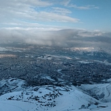
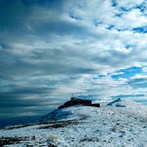
View of Sanandaj from Awiar
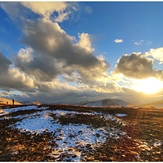
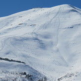
Awiar peak
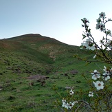
Awiar
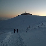
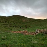
Awiar mountain shelter in autumn
awiar
Awiar mountain shelter in autumn
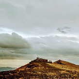
زمستان ابیدر
 Like us
 Follow us
