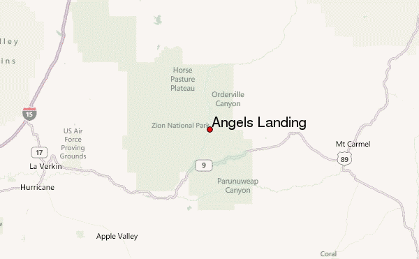
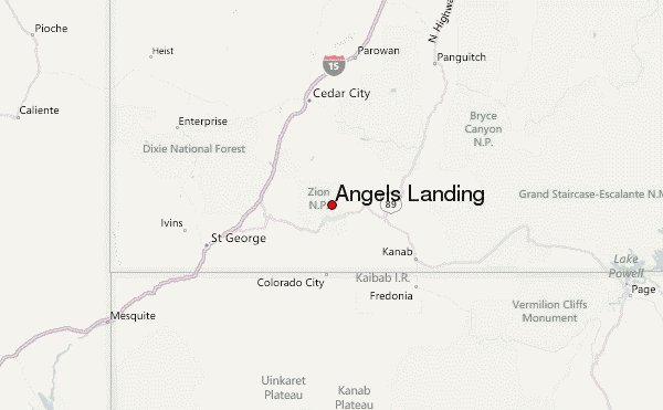
– Lat/Long: 37.27° N 112.95° W
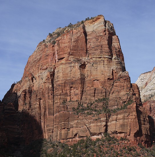
 Angels Landing – Climbing, Hiking & Mountaineering information
Angels Landing – Climbing, Hiking & Mountaineering information
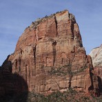
Angels Landing mountain guide
- Elevation: 1826 m
- Difficulty:
- Best months to climb:
- Convenient center:
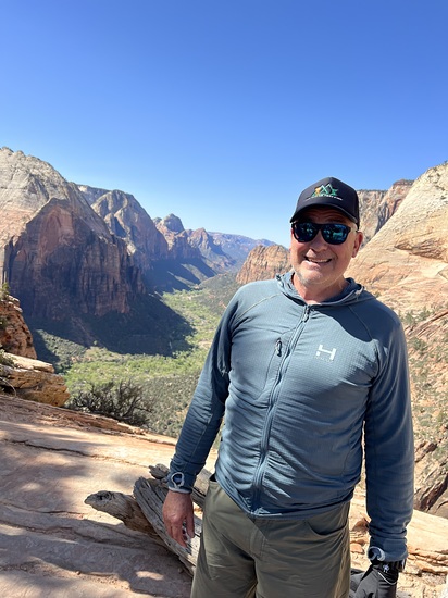
Angels Landing Climbing NotesBe the first to submit your climbing note! Please submit any useful information about climbing Angels Landing that may be useful to other climbers. Consider things such as access and accommodation at the base of Angels Landing, as well as the logistics of climbing to the summit. |
| Select a
mountain summit from the menu |
||
|
Select a Mountain Summit
|
||
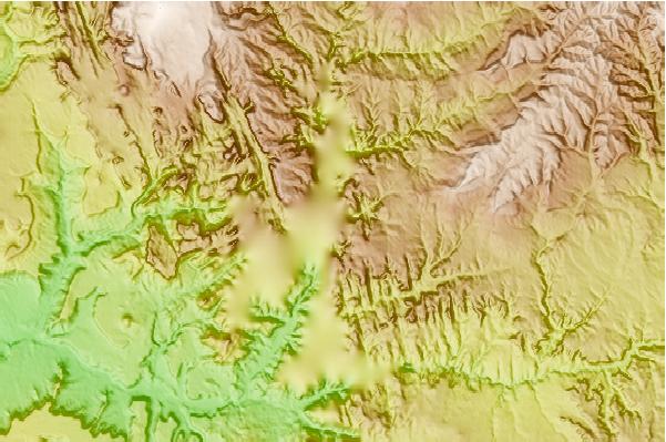
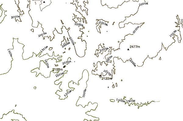
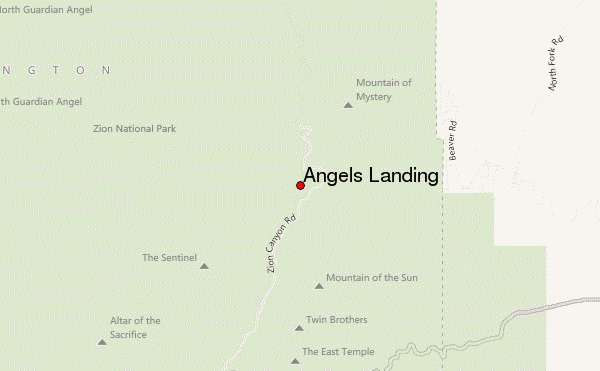
Use this relief map to navigate to mountain peaks in the area of Angels Landing.
10 other mountain peaks closest to Angels Landing:
| 1. | Kolob (2727 m) | 16.7 km |
| 2. | Horse Ranch Mountain (2660 m) | 29.8 km |
| 3. | Markagunt Plateau (2840 m) | 42.4 km |
| 4. | Bald Knoll (2135 m) | 48.3 km |
| 5. | Webb Hill (951 m) | 59.9 km |
| 6. | Santa Clara Volcano (1465 m) | 60.0 km |
| 7. | Santa Clara (1 m) | 60.0 km |
| 8. | Uinkaret volcanic field (1555 m) | 100.3 km |
| 9. | Vulcan's Throne (1555 m) | 117.4 km |
| 10. | Mount Delano (3710 m) | 132.5 km |
 Like us
 Follow us
