– Lat/Long: 36.59° N 118.66° W
 Alta Peak – Climbing, Hiking & Mountaineering information
Alta Peak – Climbing, Hiking & Mountaineering information
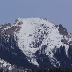
Alta Peak mountain guide
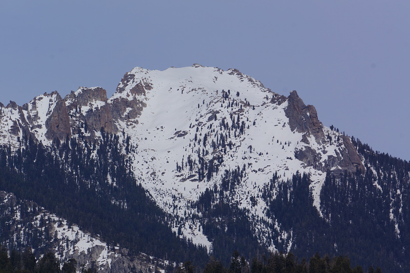
- Elevation: 3416 m
- Difficulty:
- Best months to climb:
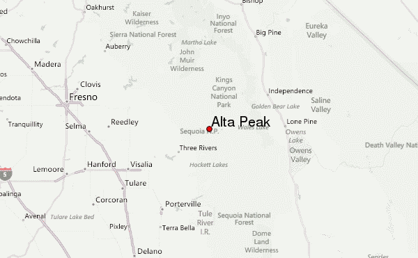
- Convenient center:
Alta Peak Climbing NotesBe the first to submit your climbing note! Please submit any useful information about climbing Alta Peak that may be useful to other climbers. Consider things such as access and accommodation at the base of Alta Peak, as well as the logistics of climbing to the summit. |
| Select a
mountain summit from the menu |
||
|
Select a Mountain Summit
|
||
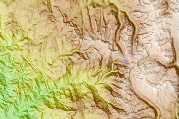
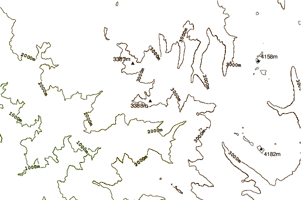
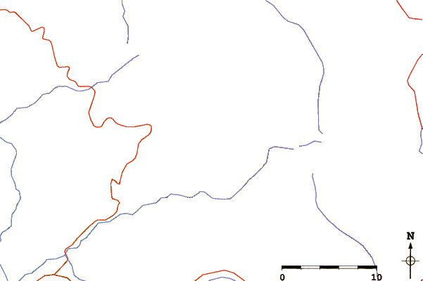
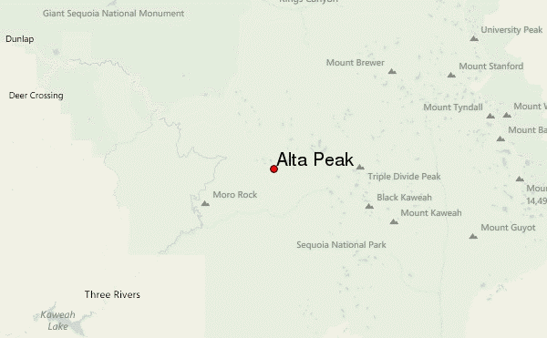
Use this relief map to navigate to mountain peaks in the area of Alta Peak.
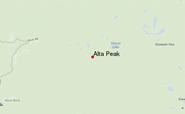
10 other mountain peaks closest to Alta Peak:
| 1. | Moro Rock (2050 m) | 10.5 km |
| 2. | Triple Divide Peak (Tulare) (3852 m) | 11.8 km |
| 3. | Black Kaweah (4168 m) | 14.2 km |
| 4. | Kaweah Queen (4079 m) | 14.4 km |
| 5. | Red Kaweah (4182 m) | 15.1 km |
| 6. | Milestone Mountain (4158 m) | 16.7 km |
| 7. | Sawtooth Peak (3762 m) | 18.0 km |
| 8. | Mount Kaweah (4208 m) | 18.1 km |
| 9. | Table Mountain (Tulare County, California) (4153 m) | 18.5 km |
| 10. | Mt Brewer (4136 m) | 20.1 km |
 Like us
 Follow us
